
Solution
Elevation orthophotos
Photograph façades and walls with the drone and get elevation orthophotos from high-resolution images.
Product
Sectors
What it's for
From the flight to the elevation orthophoto.
NioMap processes the images and produces the orthophoto of each elevation, frontal and at scale, ready for drawing, analysis and reporting.
Drag to see the elevation.
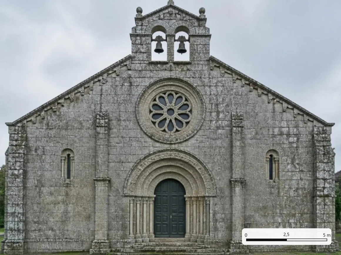
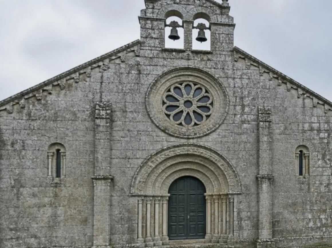 PhotographElevation orthophoto
What you need
High-resolution images of each façade.
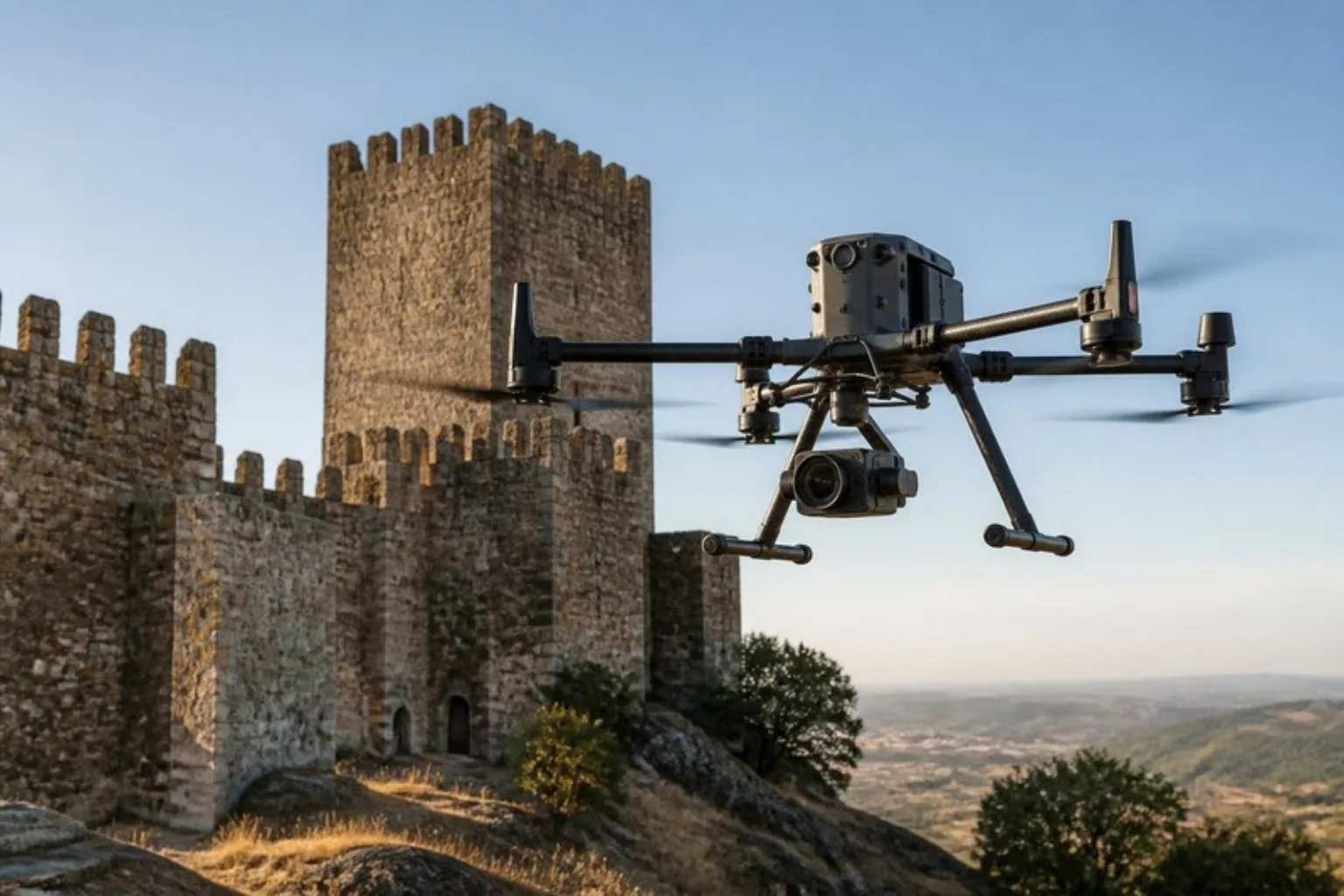
Fly in front of each elevation with the camera facing the façade, or import images already captured. For higher accuracy, use control points.
Step by step
- 01
Upload
Upload data or the results from each flight.
- 02
Process
Turn data into results.
- 03
Compare
Compare surveys and see what changed.
- 04
Measure
Measure areas, distances and volumes.
- 05
Share
Share the result with your client or a colleague.
Results
Every façade, frontal and at scale.
You get the elevation orthophotos and the 3D model of the building, ready to view, share or export to CAD and BIM.
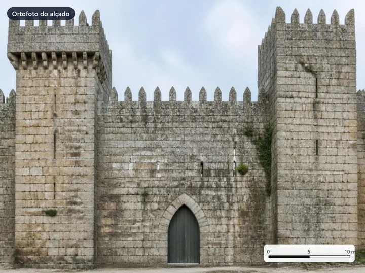
Orthophoto of each elevation, at scale
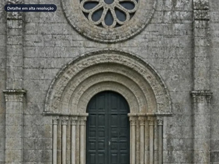
High-resolution images of the façade
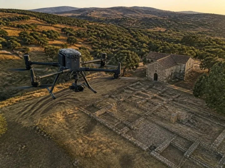
3D model of the building
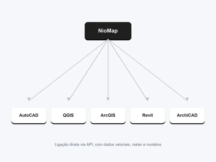
Export via API to AutoCAD, Revit and ArchiCAD
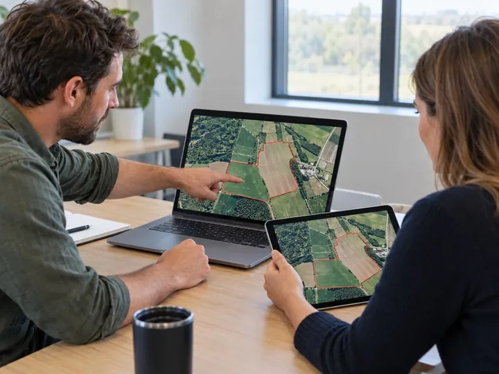
Sharing with the team and authorities
Important note. Plan the flight to cover the whole façade, with overlap between images.
FAQ
What people usually ask.
Can I use the elevation in CAD?
Yes. Send the orthophoto via API to AutoCAD, Revit or ArchiCAD.
What resolution can I get?
It depends on the camera and the distance to the façade. The closer, the more detail.
Can I do every façade of a building?
Yes. Each elevation gets its own orthophoto, in the same project.
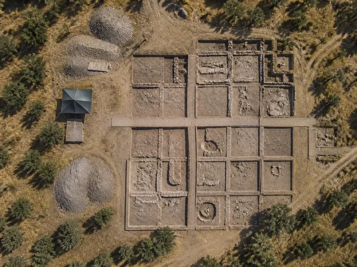
Document site conditions
Orthophoto and 3D model of the site, kept with the capture date, to look up and show even after the site changes.
Export results and use integrations
Connect NioMap to AutoCAD, ZWCAD, QGIS, ArcGIS, Aplitop MDT, Revit, ArchiCAD, ARCHLINE.XP or Blender and send orthophotos, models and measurements directly, via API, WMTS or IFC, without converting files.
Share surveys and results
Invite people or companies, or send a link. The administrator chooses what each one can do: view, measure and comment, or edit.
Get your elevations in NioMap.
Create a free account and try it with your own survey data: it includes 1 hour of processing and 10 GB of storage. If you have questions, talk to us.