
Create a free account: it includes 1 hour of processing and up to 10 GB of storage. To learn, see the tutorials or try it with sample data. For usage conditions or to discuss your data, talk to the team.
Community
Learn, explore and try.
Tutorials, FAQ, real projects and sample data to get the most out of NioMap and NioBook.
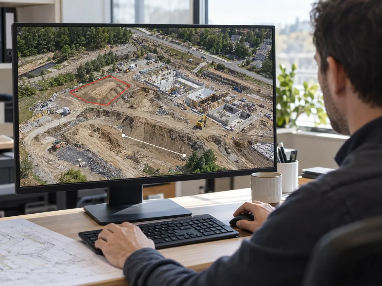
Tutorials & FAQ
Learn how to use NioMap and NioBook and find answers to the most common questions.
See tutorials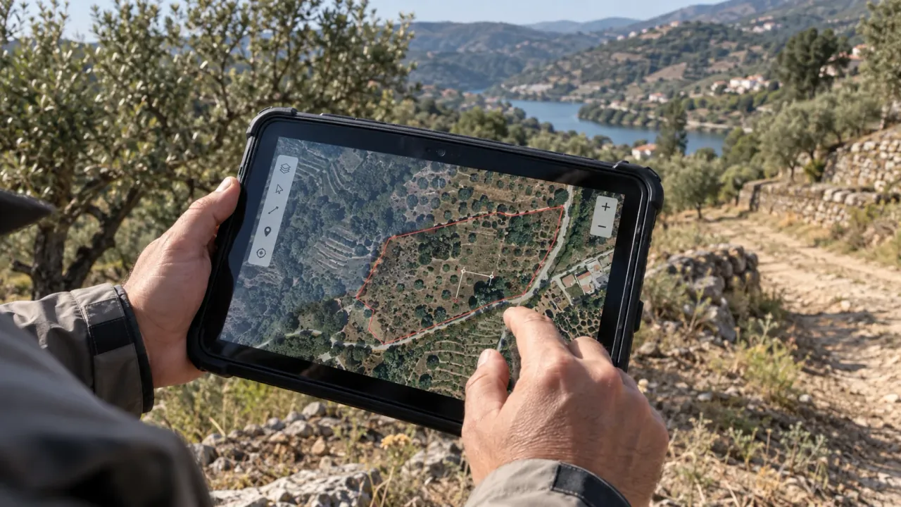
Showcases
Explore in the browser surveys made with NioMap and 3D objects from NioBook.
Explore projects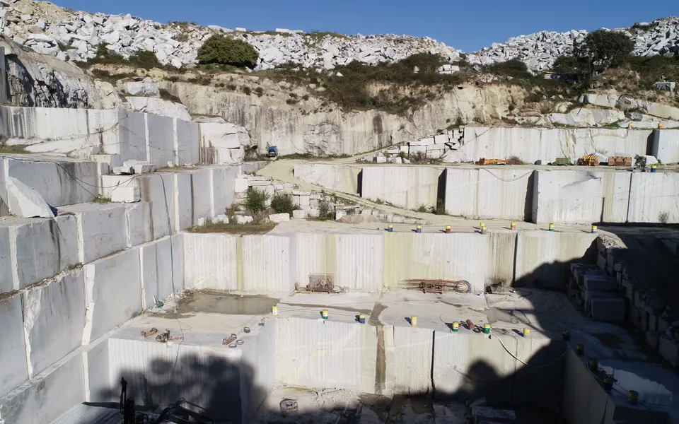
Downloads
Download flight photos and get the orthophoto, 3D model and DEM in your free account.
See datasets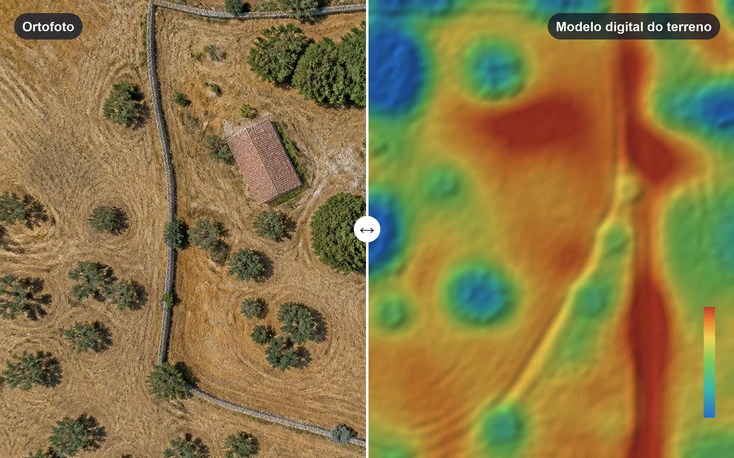
Articles
Clear answers about drone surveys: prices, volumes and results.
Read articles
Start here
The first steps and the most common questions.
Step-by-step guides
- 01Plan the flightPlan the flight with your own team or, if you have no drone or don't fly, hire the capture on NioPilot: NIOTANTEK's pool of certified pilots, where you choose the pilot, the drone and the sensor in the app.
- 02Survey on siteFlight day: prepare the site, fly and check the capture.
- 03Upload a surveyFlight photos or results already processed.
- 04Automatic processingNioMap processes the photos in the cloud, with nothing to install.
Data to try
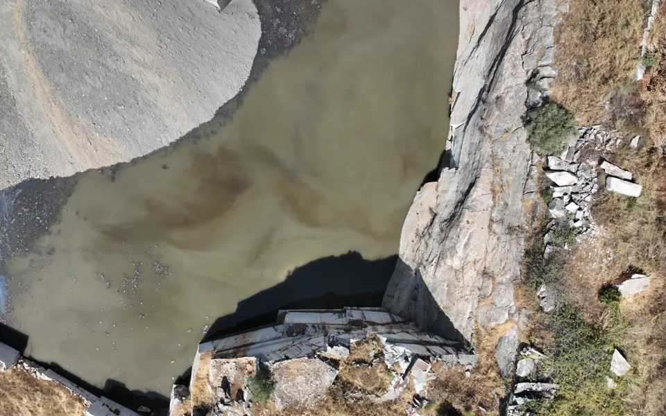
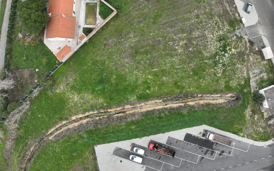
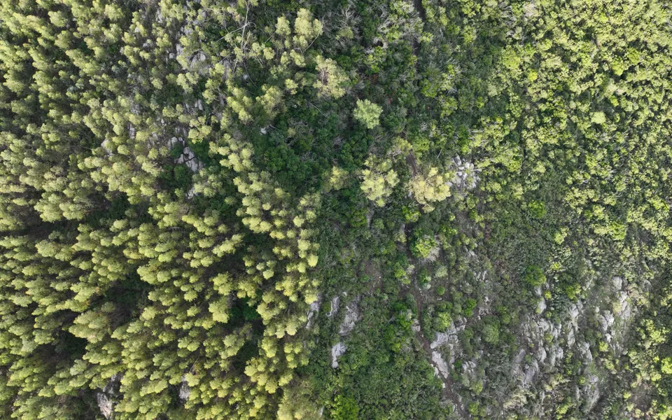
Photos from real flights, to process in the free account.
Take part
The community is also built with your surveys.
Have a project to show?
Share a survey made in NioMap or a NioBook catalog with us and we may feature it here.
Suggest a projectHave data to share?
If you would like to make a flight available to the community, talk to us.
Share dataFree account
Try it with your own data.
Create a free account: it includes 1 hour of processing and up to 10 GB of storage.