
1. Upload the photos
From your drone or smartphone, or import an orthophoto and elevation model already processed.
NioMap
From flight to result in minutes, with nothing to install. Upload the photos from your drone or smartphone, get the orthophoto and the 3D model, and measure, compare and share in the browser.
Free · 1 h of processing · 10 GB · Nothing to install
NioMap turns drone or smartphone photos into maps, 3D models and measurements. It also accepts results already processed in other software.
Everything happens in the cloud and in the browser, with nothing to install. Each survey stays tied to its site and date, ready to view, compare and share.
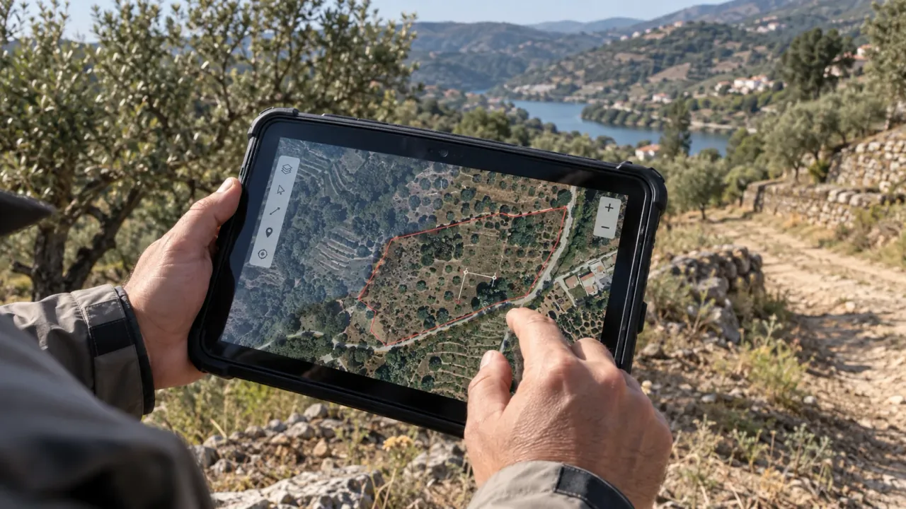
From your drone or smartphone, or import an orthophoto and elevation model already processed.
In minutes you get the orthophoto, 3D model, elevation model and contour lines.
In the browser: areas, volumes, profiles and comparison between dates. Share by link or take the results to your own software.
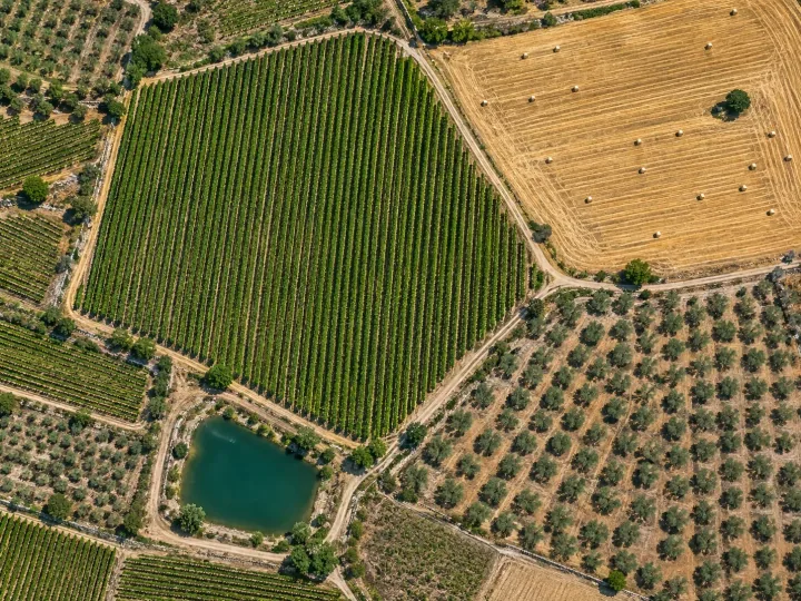
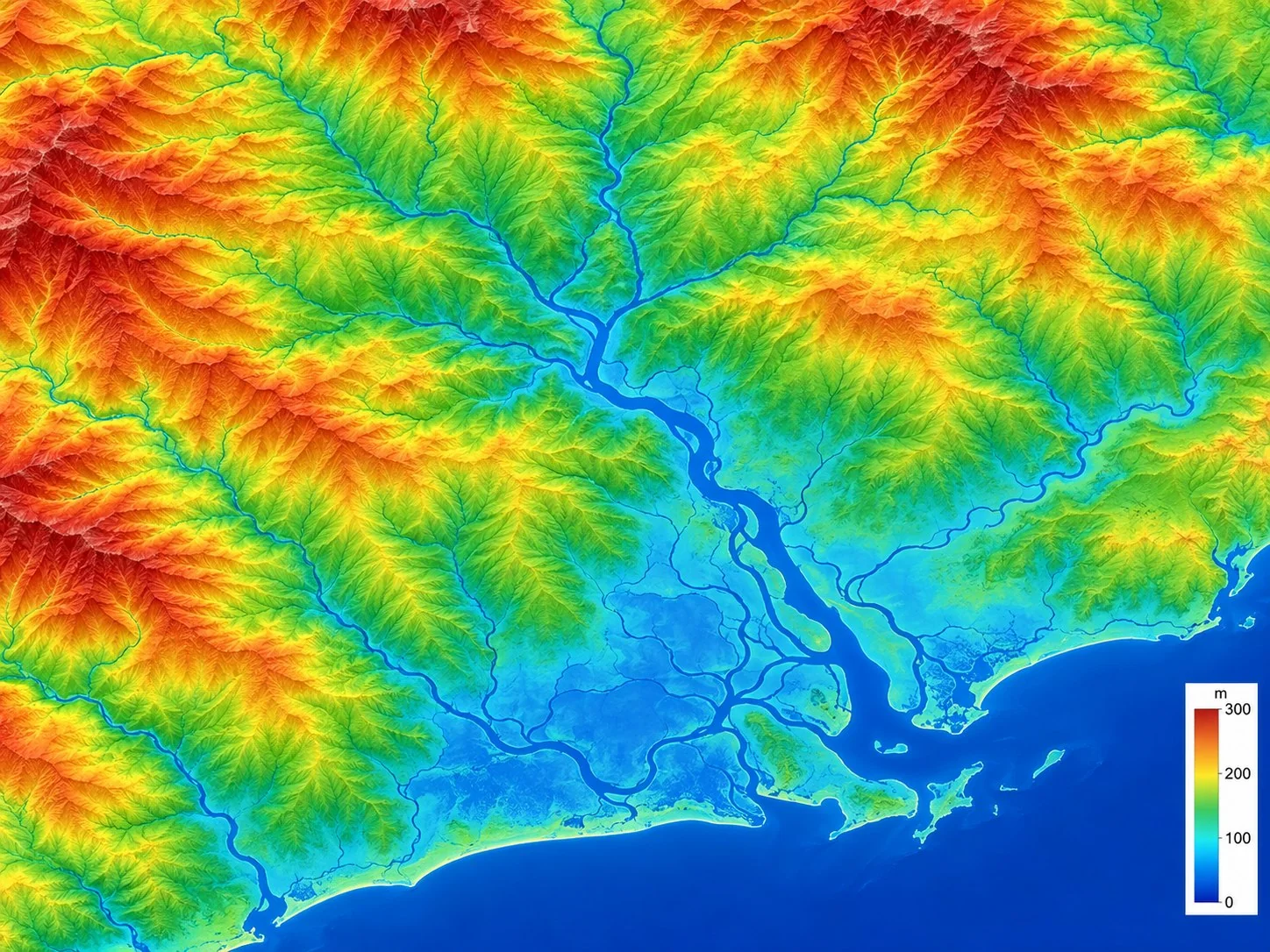
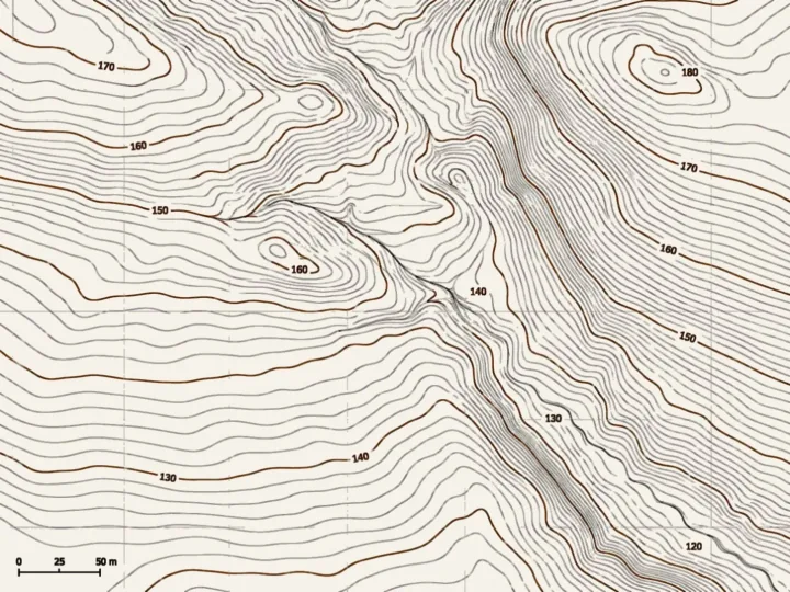
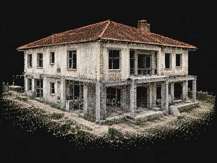
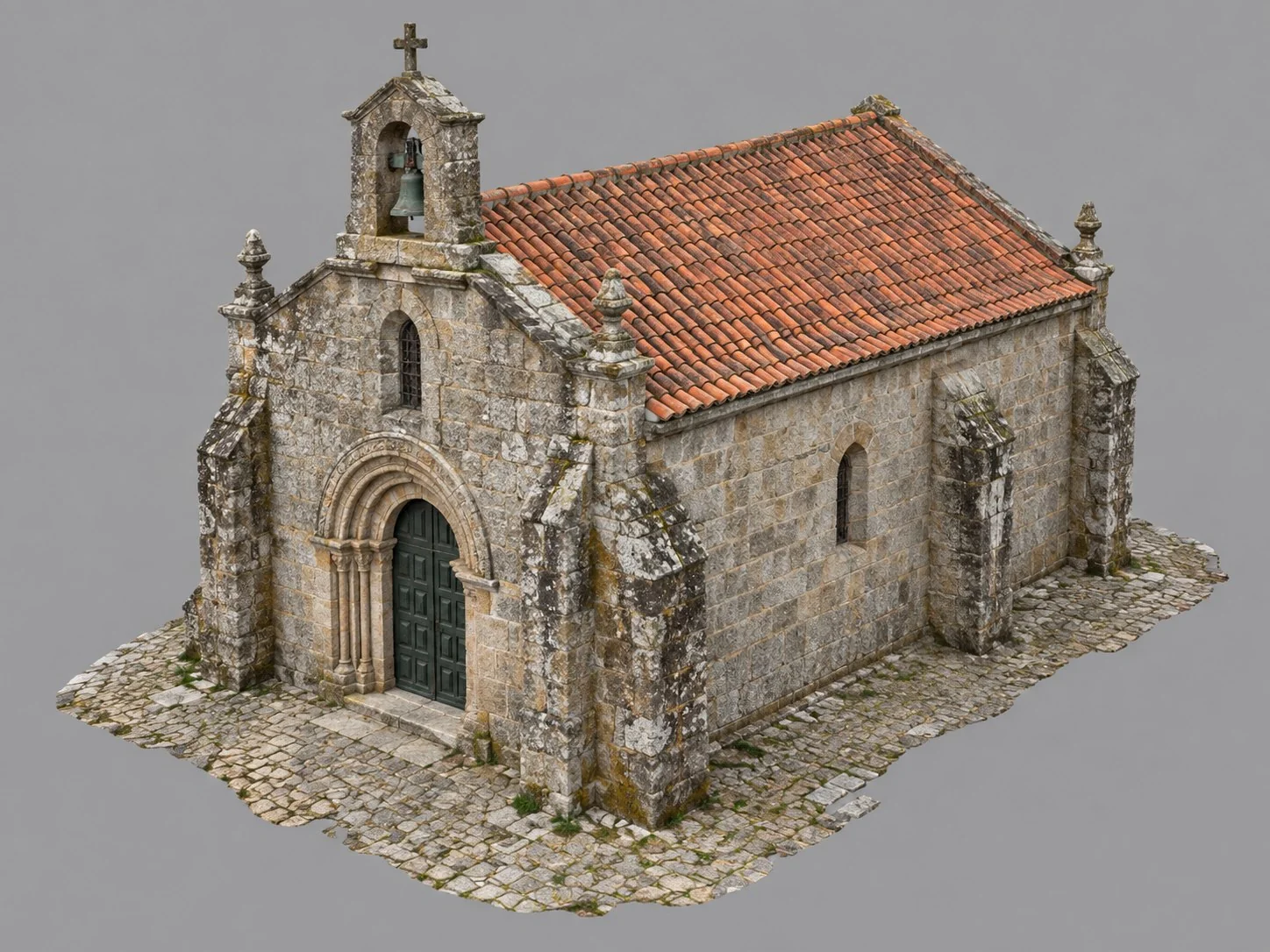
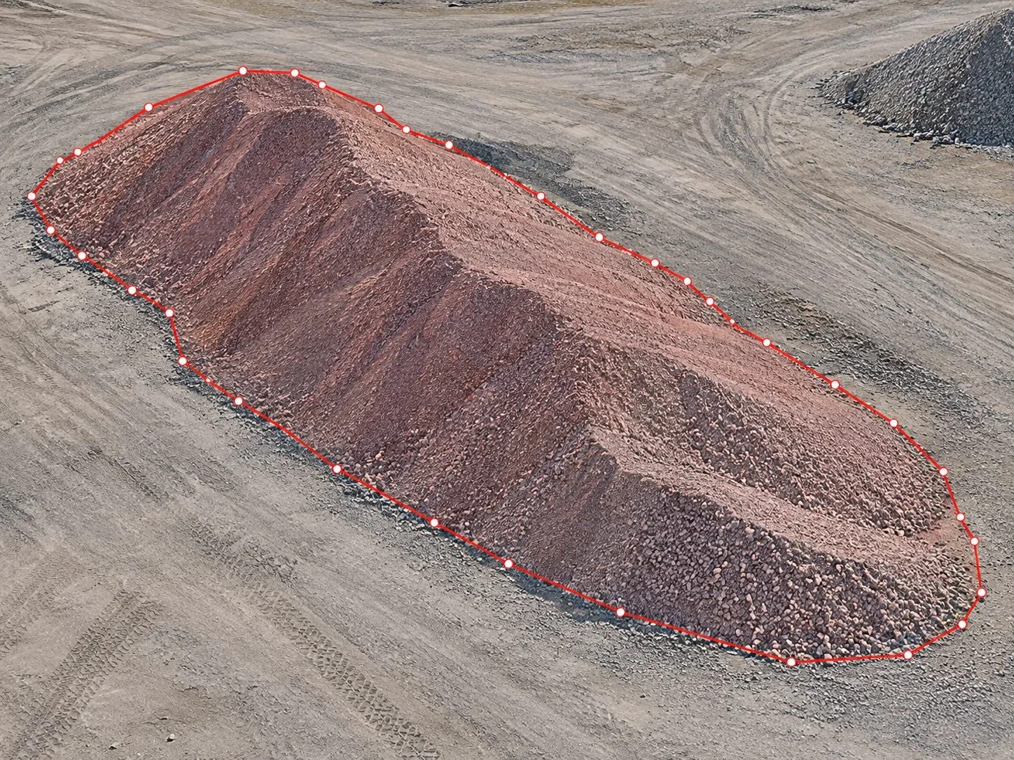
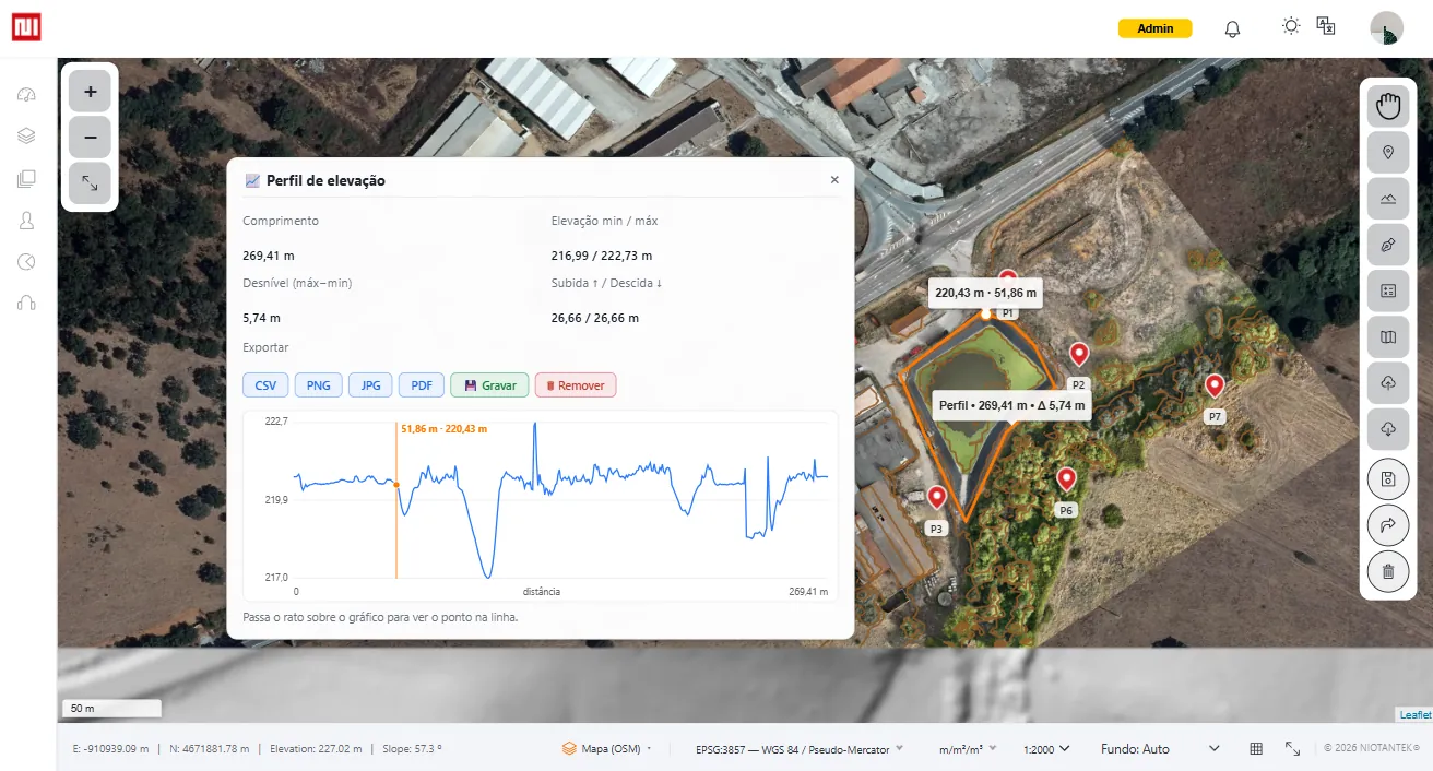
Explore the map and 3D model of a real survey, right in the browser and without creating an account.
Explore the solutions most used in each sector and see where NioMap applies.
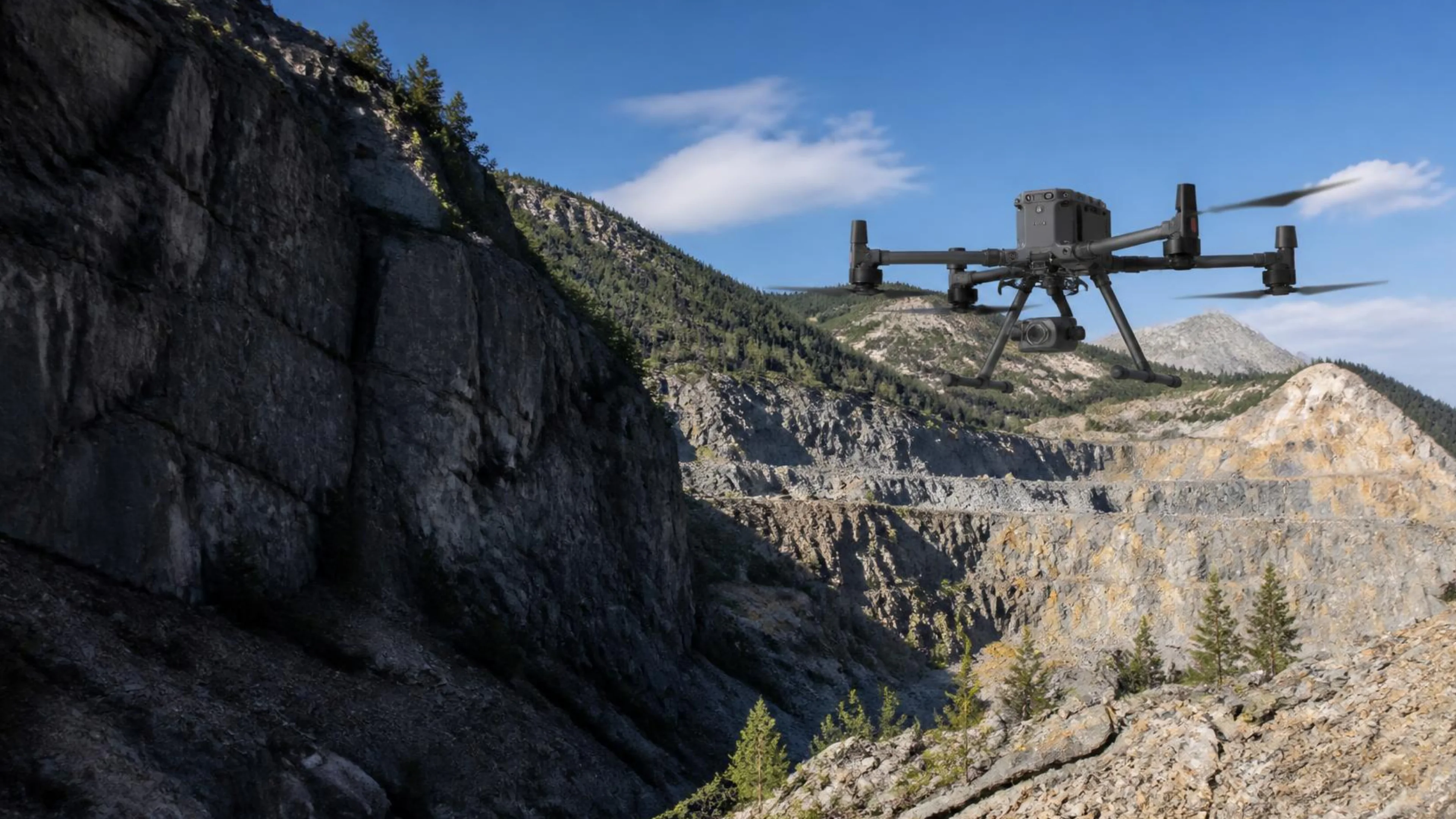
Three solutions that serve different sectors. Pick the one closest to your work.
| Solution | Sectors where it comes up |
|---|---|
| How do I compare two surveys of the same site? When the same site changes every month, the team needs to see differences between surveys without rebuilding everything from scratch. |
|
| How much material left or arrived between two dates? For sites, landfills and operations, debating volumes without a shared basis slows decisions and reports. |
|
| How do I take these results into my own software? A measured volume is no use locked inside one application. It has to reach the drawing, the project and the report the team already works in. |
|
Create a free account, with 1 hour of processing and 10 GB, or talk to us about the data you work with.