
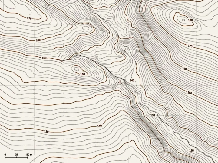
Read the coordinates and the elevation of a point.
NioMap
Measure, compare and share every survey.
From flight to result in minutes, with nothing to install. Upload the photos from your drone or smartphone, get the orthophoto and the 3D model, and measure, compare and share in the browser.
Free · 1 h of processing · 10 GB · Nothing to install
See and measure
See, measure and compare without leaving the browser.
Every survey opens as a 2D map and a 3D model. Measurements are taken on the results themselves, in the project's coordinate system and units.
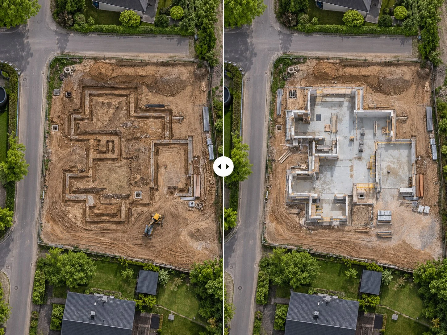
Surveys of the same site stay in date order, so you can see what changed between two visits.
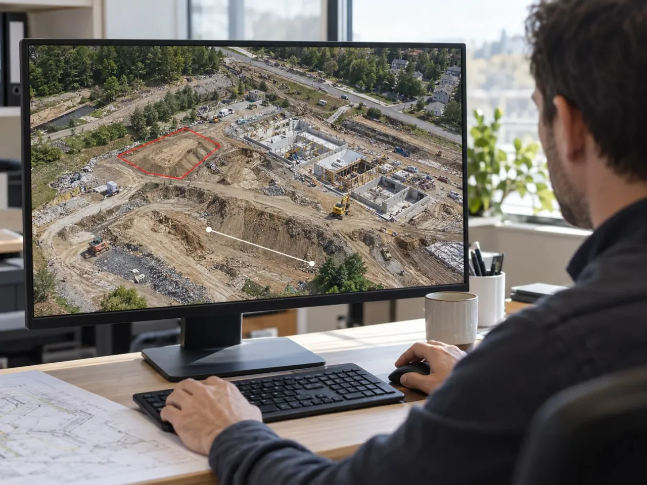
Explore NioMap
See the terrain from different perspectives.
Explore a real survey: view the aerial map in 2D or rotate the 3D model to examine the terrain and site details.
Real survey data, shared as an example.
Layers
Choose the information you want to see.
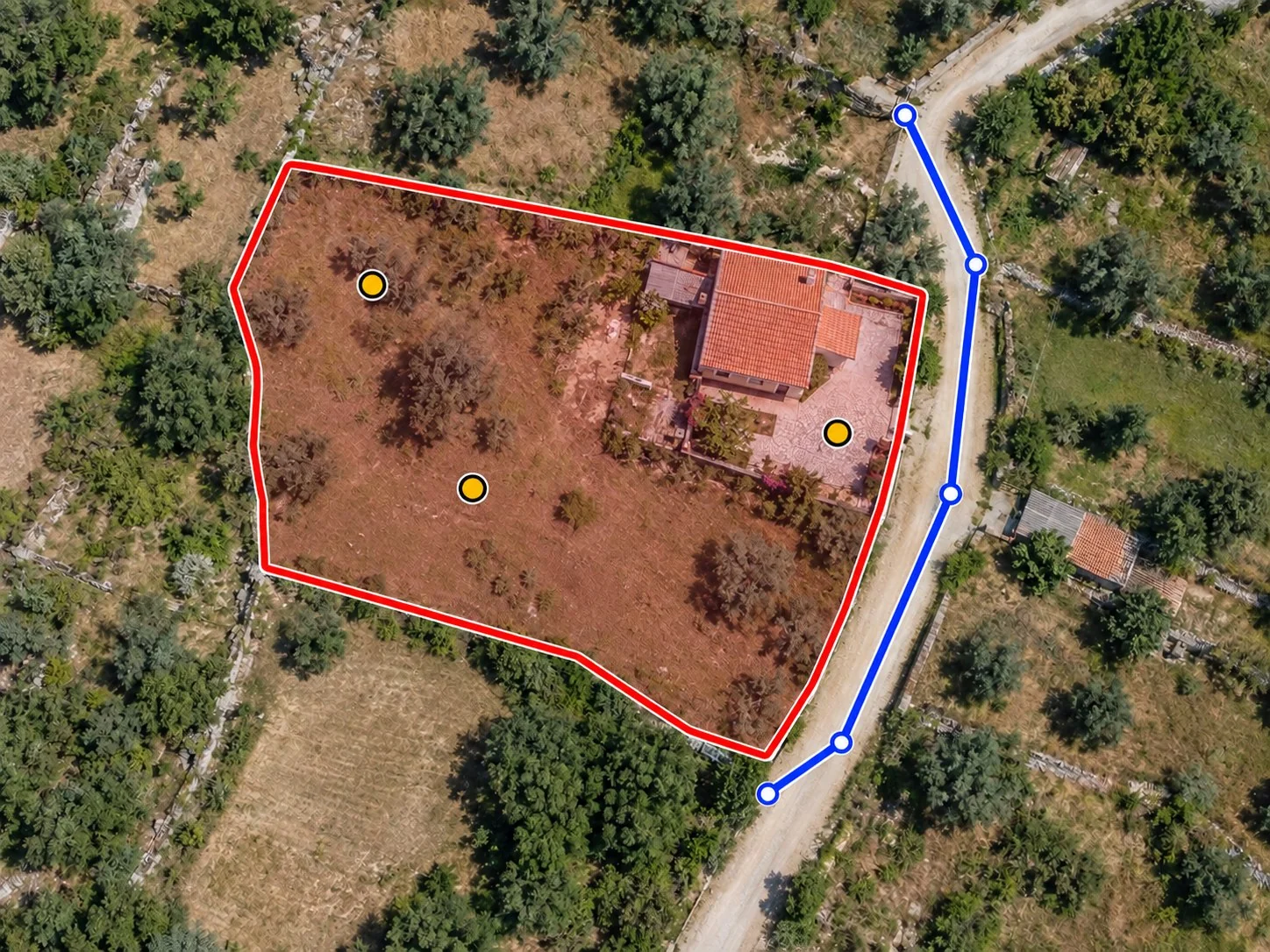
Combine the base map with the survey results and with the points, lines and areas drawn by the team.
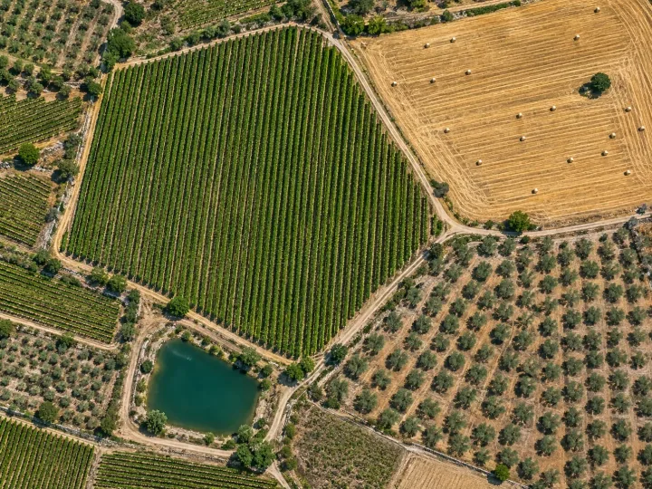
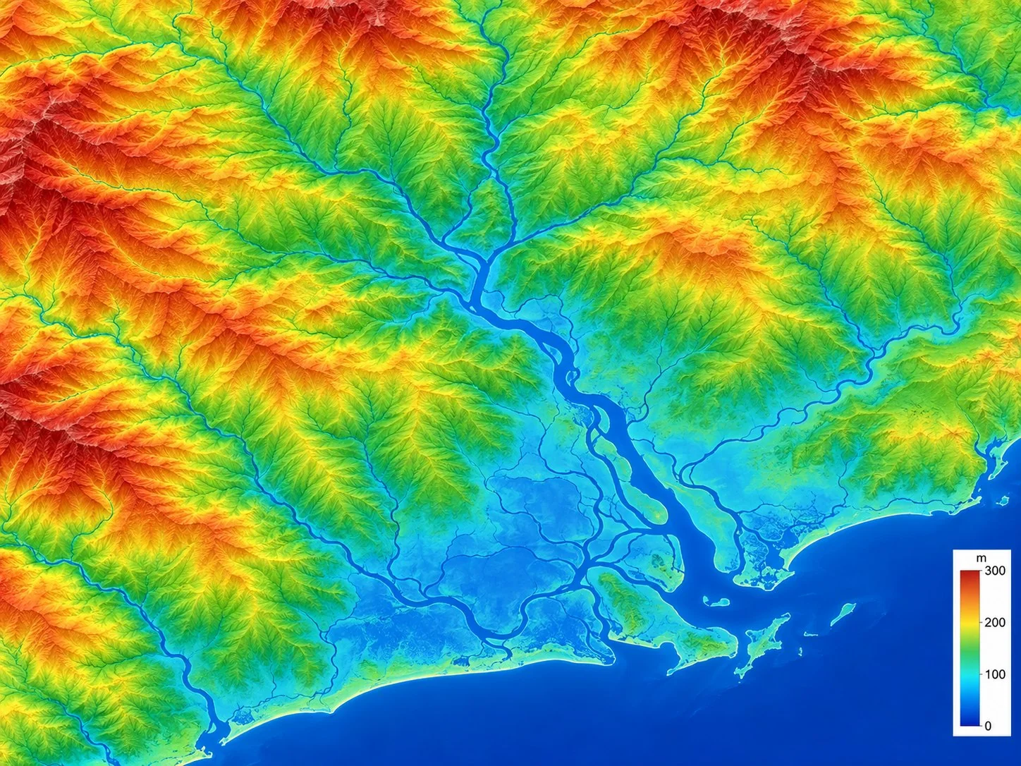
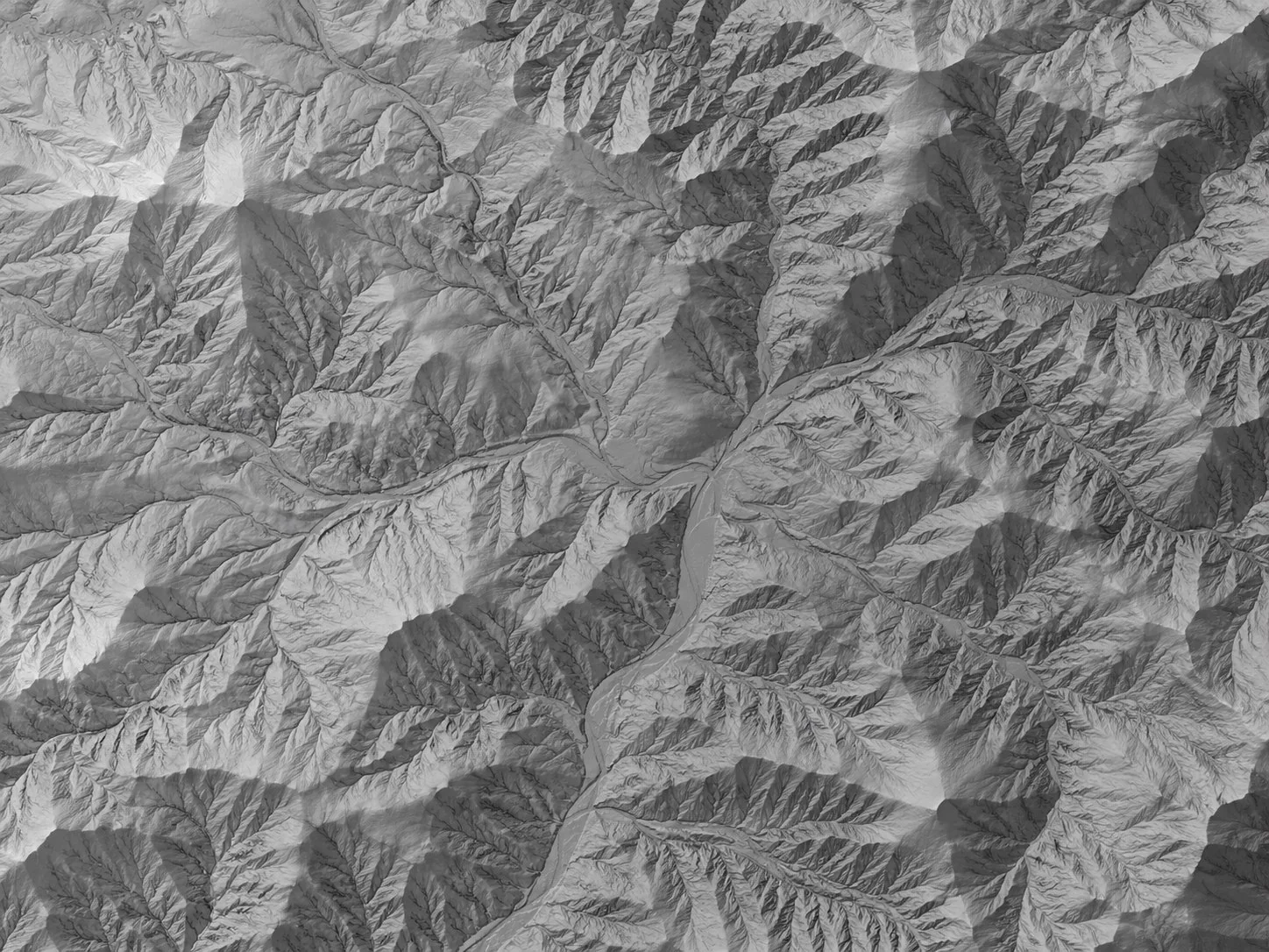
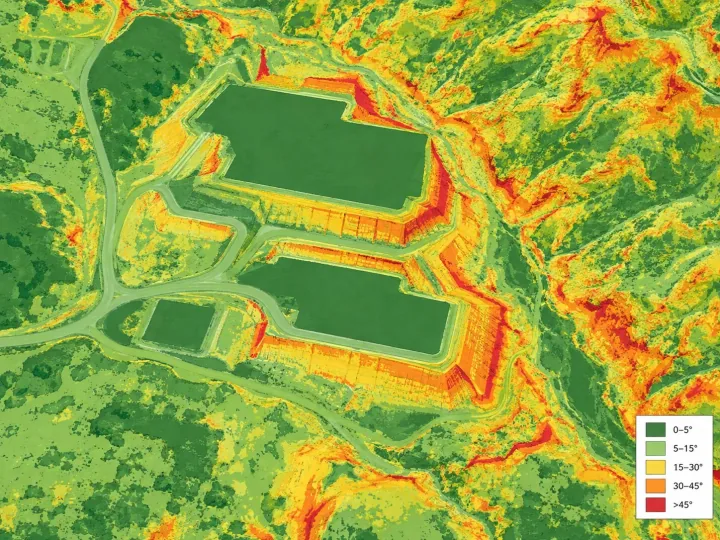
Measurements
Take measurements without separating the map from the data.
Measure the distance between two or more points.
Outline a surface and calculate its area.
Calculate volumes of material and analyze cut and fill.
Watch elevation change along a path.
History
Follow the evolution of the same site.
The surveys of one site are gathered and ordered by the date they were flown, each with its map and its 3D model.
- Organized by survey date
- Comparison between two dates to see what changed
- Map and 3D model available for every survey
Next step
Try it with your own data.
Create a free account, with 1 hour of processing and 10 GB, or talk to us about the data you work with.