
Land, buildings and objects in 3D, ready to measure and share.
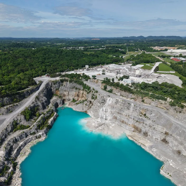
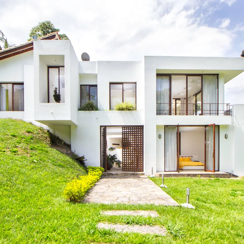
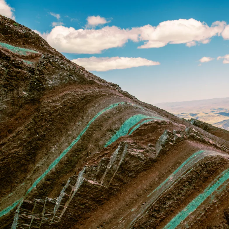
Process surveys from a drone or smartphone and measure areas, volumes and profiles in the browser. Record objects in 3D and publish them in a catalog.
Includes 1 hour of processing and up to 10 GB of storage. Or request a demo →
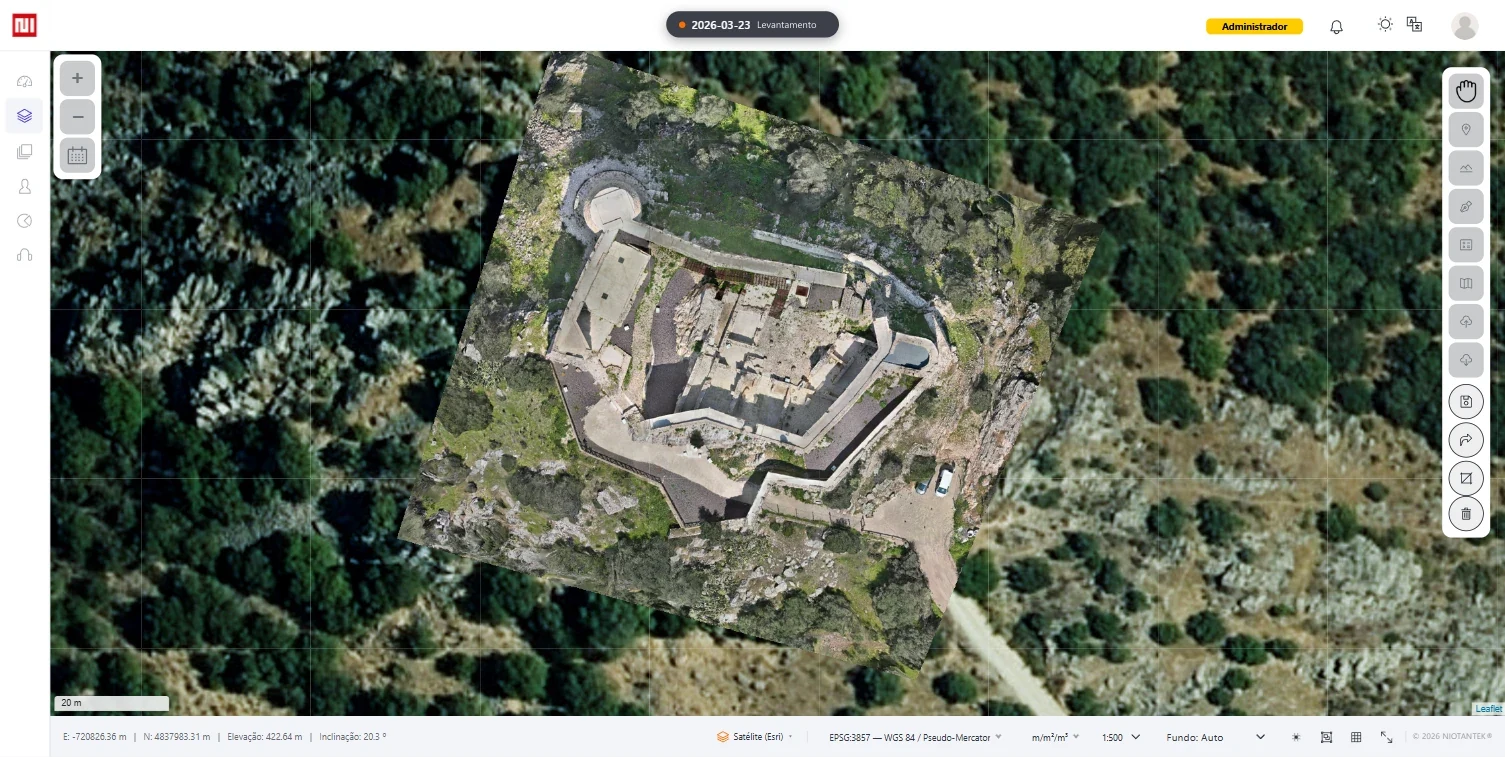
AreaA1
Inner courtyard boundary
Area348,60 m²Perimeter79,24 mElevation427,35 mSlope2,8%
Demo · Illustrative valuesDemo
Product
NioMap
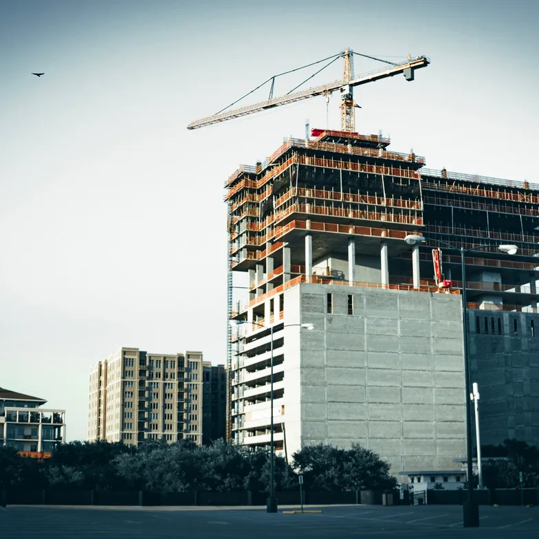
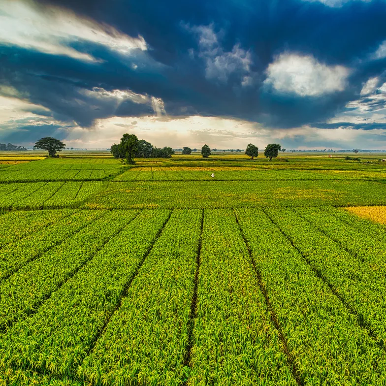
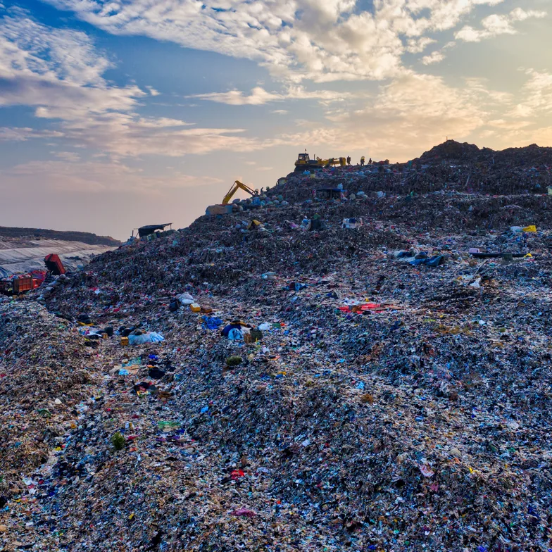
From flight to result in minutes, with nothing to install. Upload the photos from your drone or smartphone and get the orthophoto and the 3D model. Measure areas and volumes in the browser and share with your team.
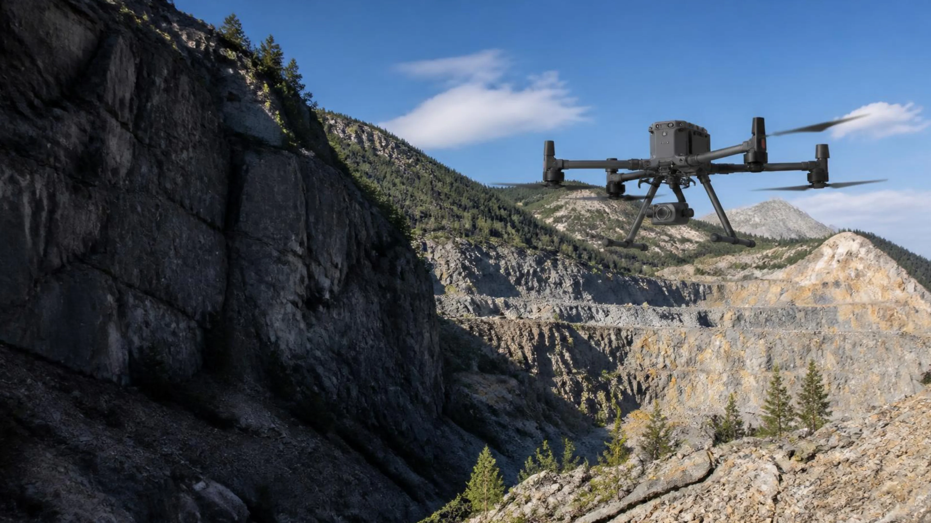
Product
NioBook
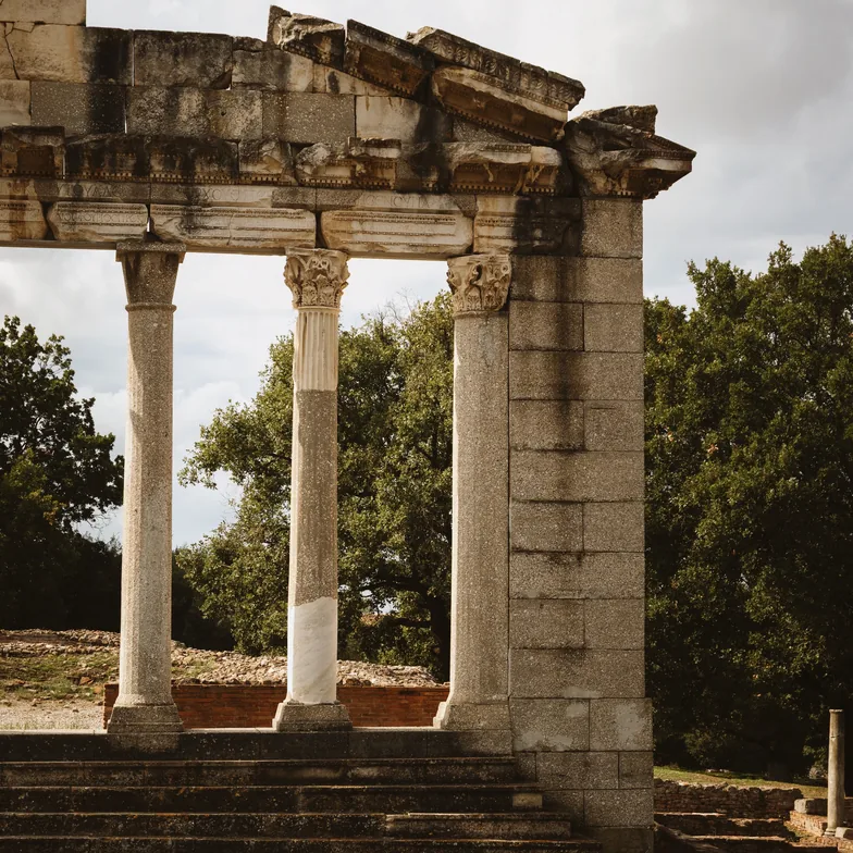
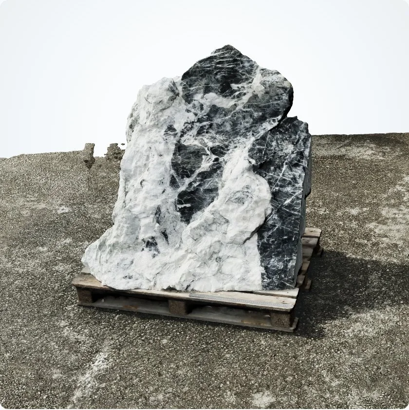
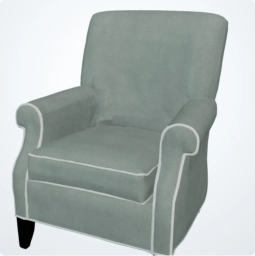
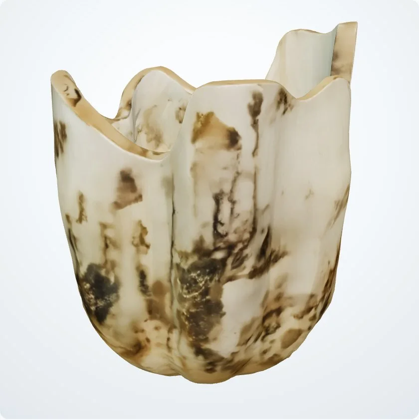
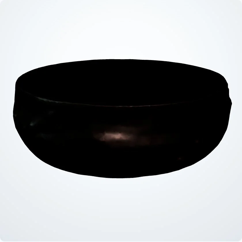
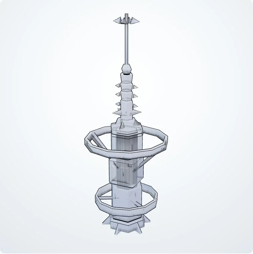
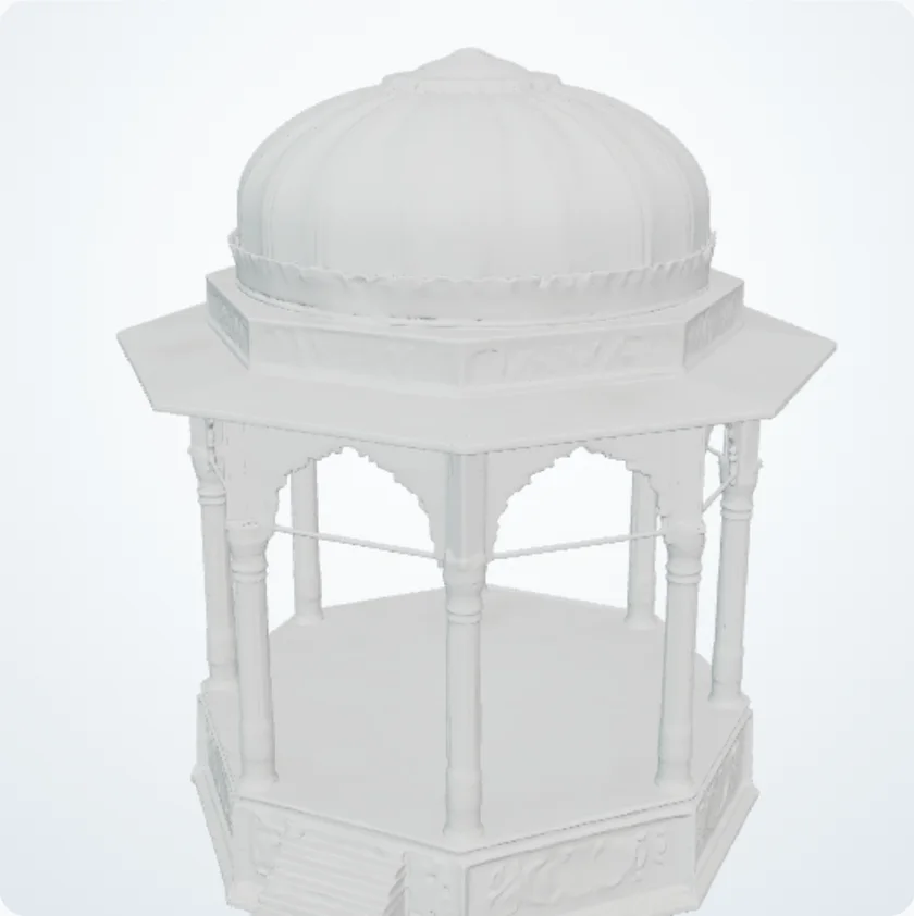
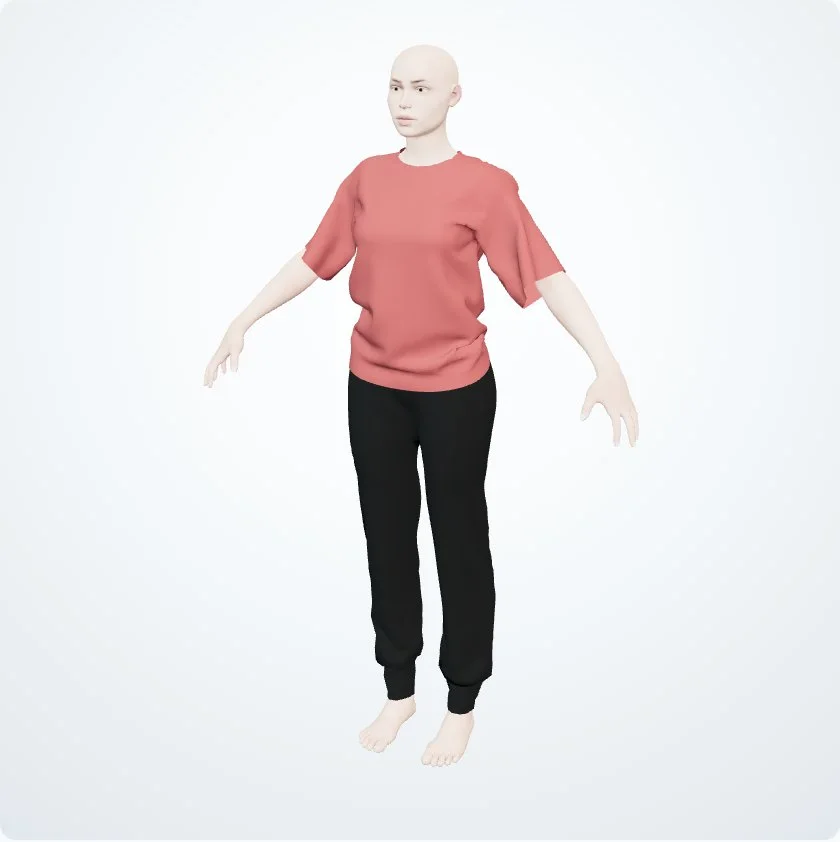
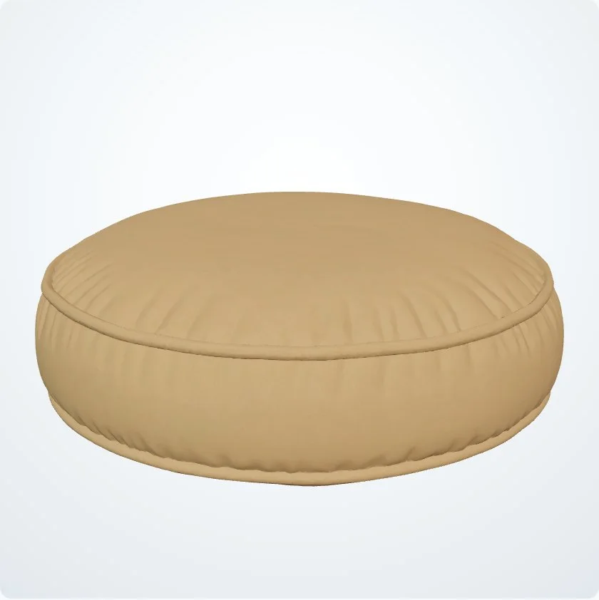
NioBook records physical objects with 3D models, links each object to those that come from its transformation and publishes the chosen ones in an online catalog, shared by link.
The common point
An isolated file does not tell the whole story.
Each piece of data enters with context
Projects, sites, objects and surveys keep their connection to the data, documents and results that belong to them.
Results ready to view
Visual information opens directly in the browser, without depending on the software installed on each computer.
Preserved history
Different dates, states and versions remain organized so it is possible to track evolution without rebuilding the past.
The right access for each person
Teams, clients and management view the information they need, in the same workspace.
NIOTANTEK is Arrow4D's software brand, in Évora since 2018, built on experience in surveying, geophysics, remote sensing and automation. About the company
Demo
Rather we showed you?
Tell us what you want to measure or record. The team prepares a demo with a case like yours and replies by email.
- No commitment
- With your own data, if you like
- A reply from the team in Évora
Next step
Try it with your own data.
Create a free account, with 1 hour of processing and up to 10 GB, or try first with photos from real flights.