
01Record the site before the work changes it.
Orthophoto and 3D model of the whole area, kept with the capture date.
Document site conditionsArchaeology and heritage
Site records, excavation phases, areas and profiles, from drone surveys.
Illustrative scenario
The team flies the excavation at the end of each phase and uploads the data to NioMap. Each record keeps its date, orthophoto and 3D model, and only the research team sees it.
Orthophoto and 3D model of the whole area, kept with the capture date.
Document site conditionsCompare two dates side by side and measure what changed between them.
Compare surveysDraw the boundary on the map and get the flat area, the real (3D) area and the perimeter.
Measure areasDraw a line on the record and get the profile automatically, without going back to the field.
Measure elevations, distances and profilesSend orthophotos, models and measurements directly, via API, WMTS or IFC, to AutoCAD, ZWCAD, QGIS, ArcGIS, Aplitop MDT, Revit, ArchiCAD, ARCHLINE.XP or Blender.
Export results and use integrationsInvite each person with the right access: edit, measure and comment, or view only.
Share surveys and resultsImport the coordinates of the finds and see how they spread over the orthophoto and the terrain model.
Distribution maps of findsPhotograph façades and walls with the drone and get scaled elevation orthophotos for drawing and analysis.
Elevation orthophotosNo account needed
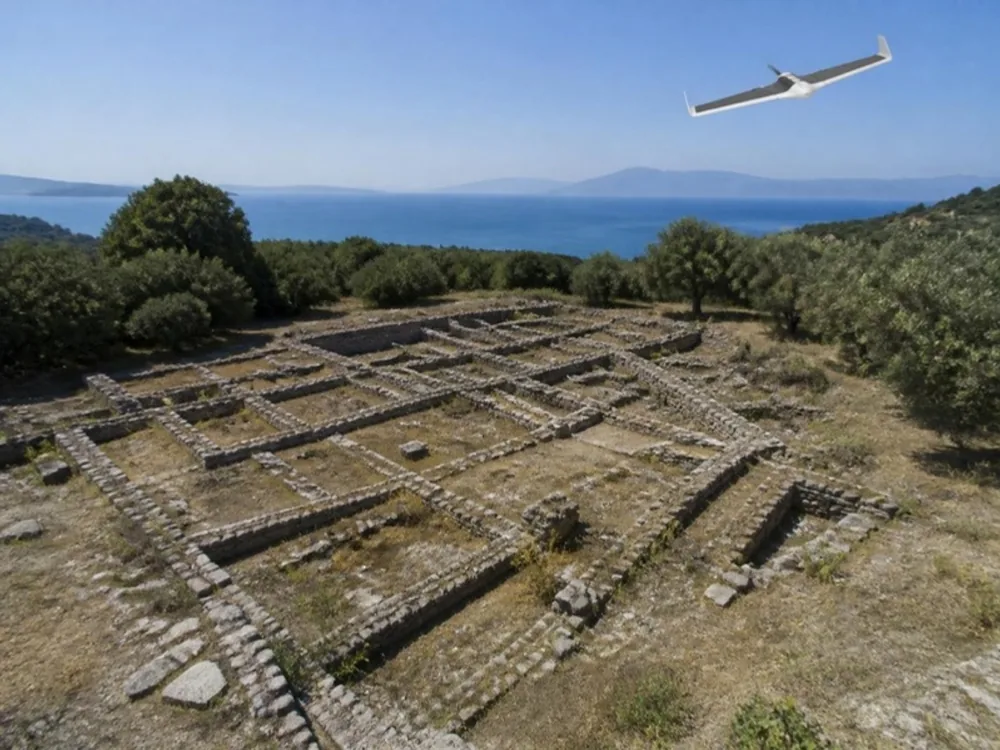
A historic site seen from a drone: open the 2D map or turn the 3D model, in the browser.
Real survey data, shared as an example.
Create a free account and try it with your own survey data: it includes 1 hour of processing and 10 GB of storage. If you have questions, talk to us.