
01Measure the area of every plot.
Draw the boundary on the map and get the flat area, the real (3D) area and the perimeter of each plot, to support subsidy claims and insurance.
Measure areasAgriculture
Plot areas, slope, profiles and crop progress, from drone surveys.
Illustrative scenario
Before the season, the team flies the farm and uploads the data to NioMap. It measures each plot's area, checks the slope and compares with the previous season.
Draw the boundary on the map and get the flat area, the real (3D) area and the perimeter of each plot, to support subsidy claims and insurance.
Measure areasDraw a line on the map and get the profile, with length, elevation difference and slope. Read elevations and distances too.
Measure elevations, distances and profilesThe slope map shows, in colours, the flat and the steepest zones of the farm.
Analyze slopesCompare two seasons side by side and measure what changed between them.
Compare surveysSend orthophotos, models and measurements directly, via API, WMTS or IFC, to AutoCAD, ZWCAD, QGIS, ArcGIS, Aplitop MDT, Revit, ArchiCAD, ARCHLINE.XP or Blender.
Export results and use integrationsInvite people or send a link. Everyone sees the same version in the browser, with nothing to install.
Share surveys and resultsLoad true-colour satellite imagery and vegetation indices such as NDVI via WMS, and see them over the survey.
Combine mapping and surveysNo account needed
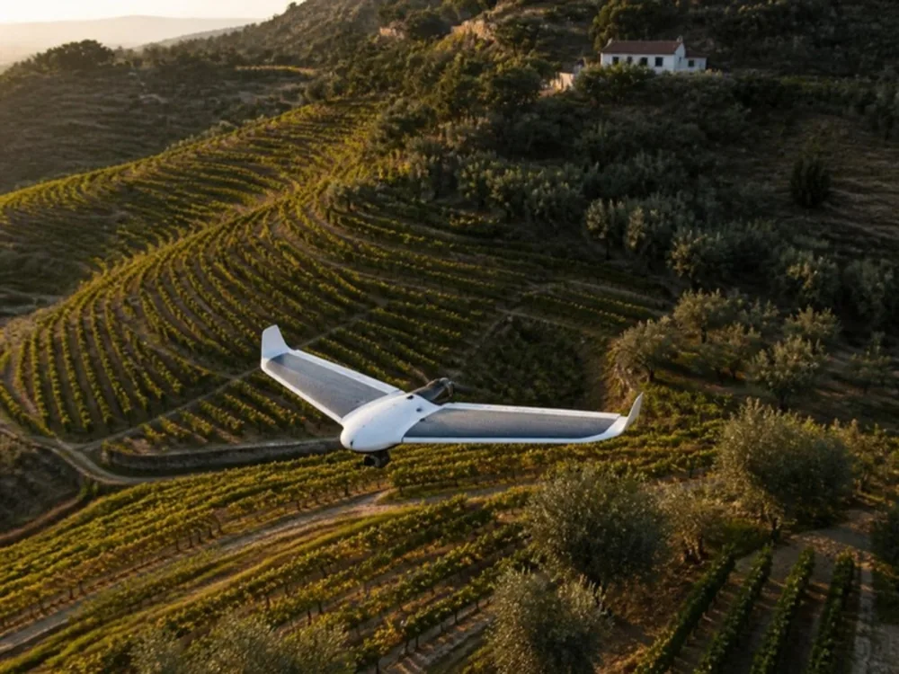
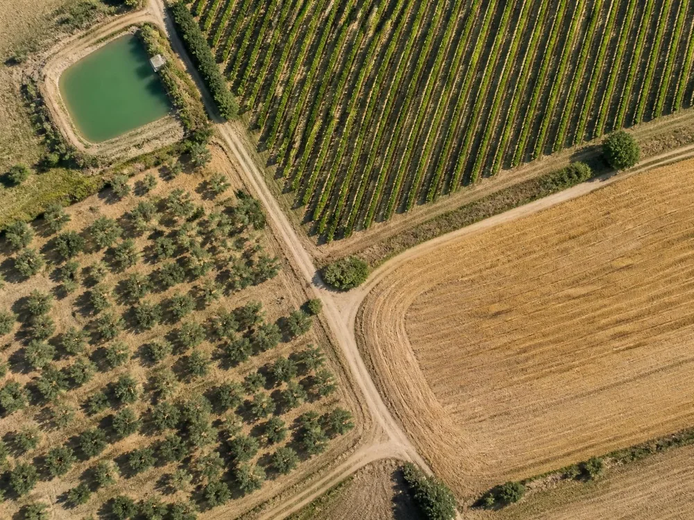
Olive groves and plots seen from a drone: open the 2D map or turn the 3D model, in the browser.
Real survey data, shared as an example.
Create a free account and try it with your own survey data: it includes 1 hour of processing and 10 GB of storage. If you have questions, talk to us.