
Solution
Export results and use integrations
Connect NioMap to AutoCAD, ZWCAD, QGIS, ArcGIS, Aplitop MDT, Revit, ArchiCAD, ARCHLINE.XP or Blender and send orthophotos, models and measurements directly, via API, WMTS or IFC, without converting files.
Product
What it's for
Carry on in your software, with the survey data.
Each of the nine programs connects via API, WMTS or IFC. Vector data, raster data and models go straight from NioMap into the project, without redoing the survey or exporting by hand.
Drag to see the data in your software.
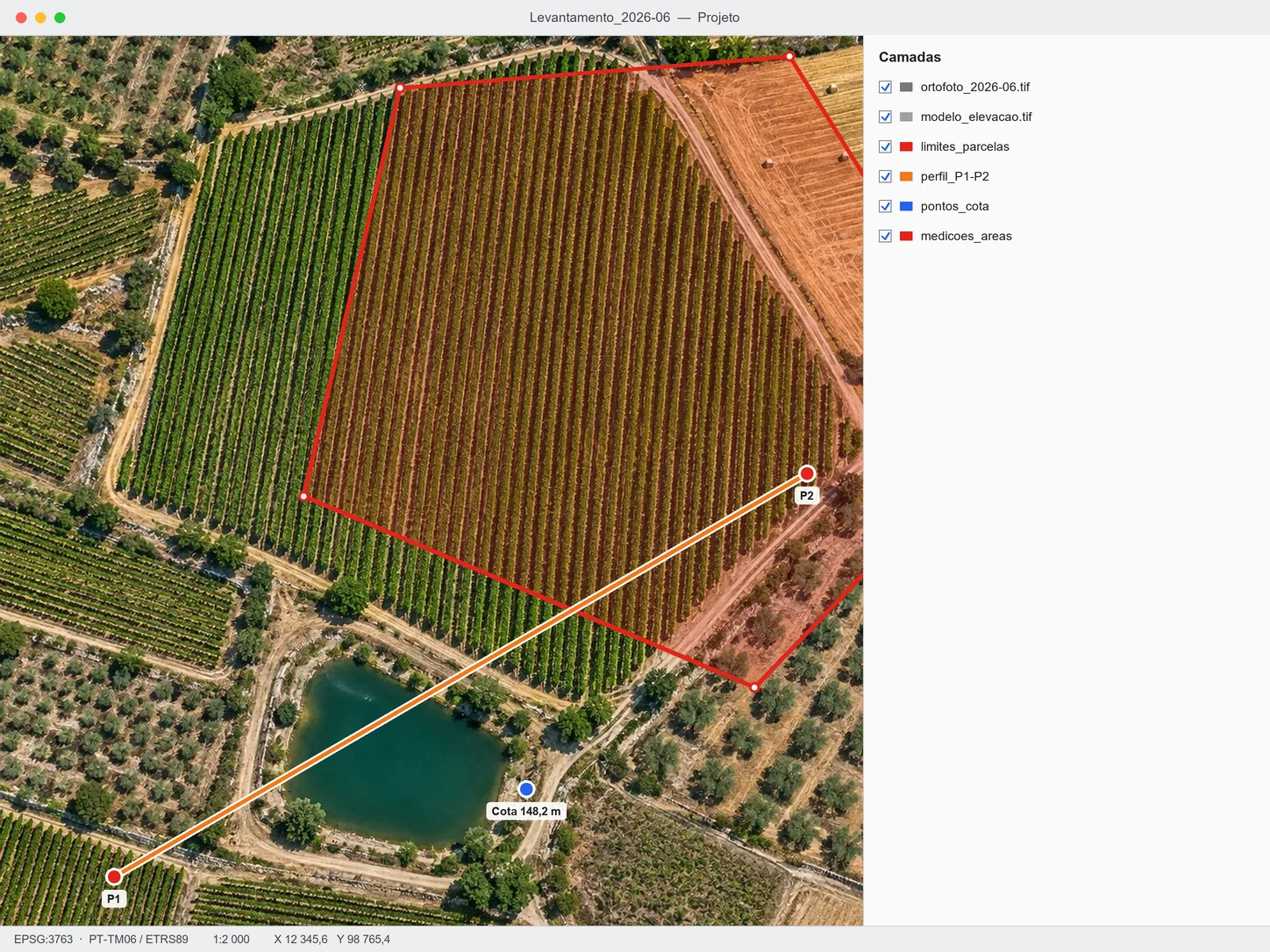
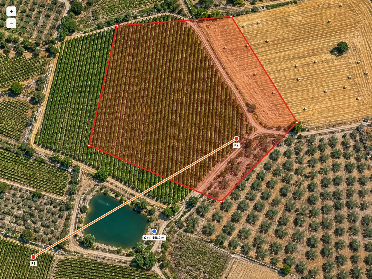 In NioMapIn your software
What you need
A processed survey and the destination program.
Process the survey in NioMap and connect it to the program where the project continues. Then choose what to send: orthophoto, elevation model, boundaries, profiles or measurements.
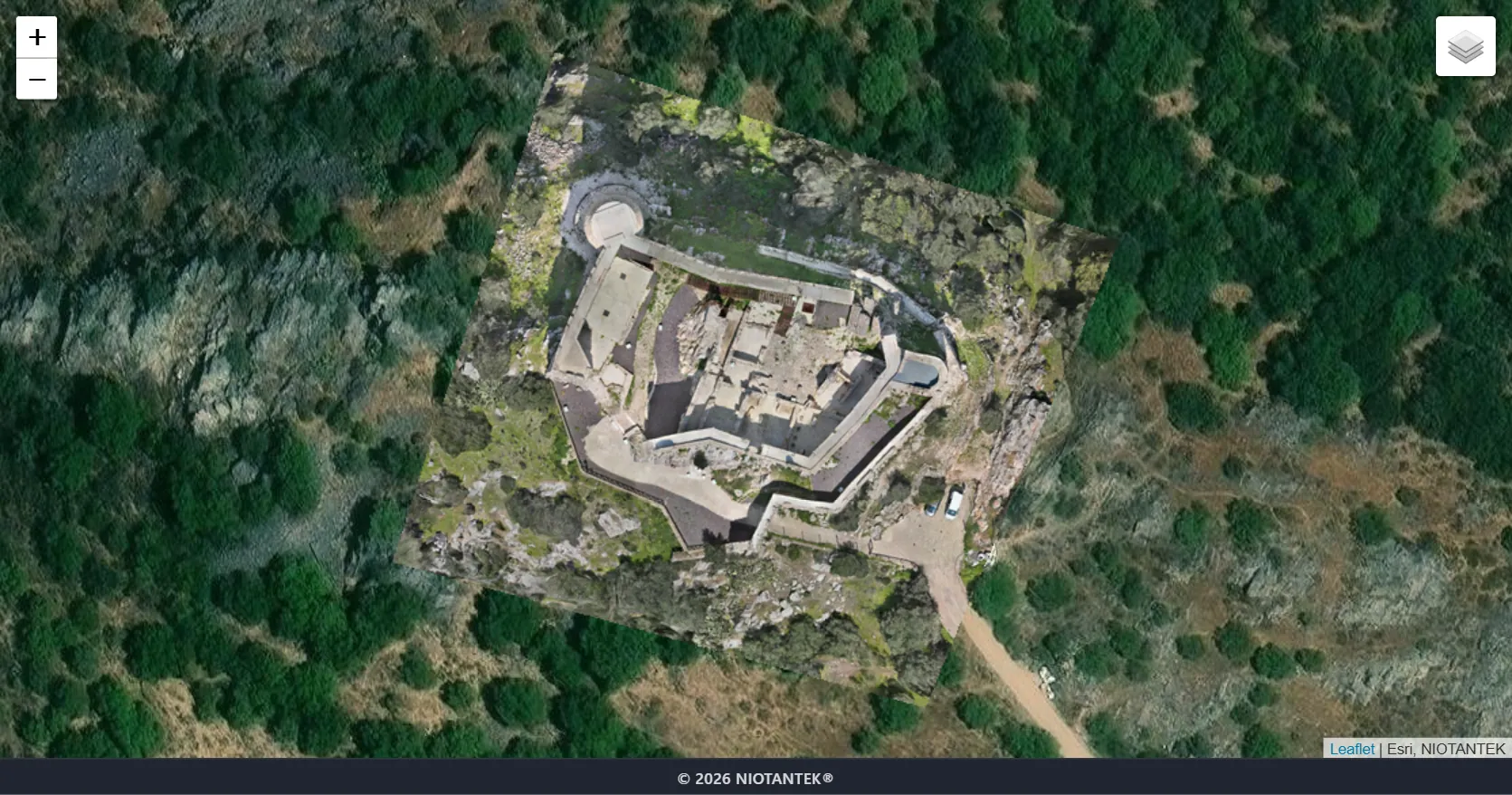
Step by step
- 01
Upload
Upload data or the results from each flight.
- 02
Process
Turn data into results.
- 03
Compare
Compare surveys and see what changed.
- 04
Measure
Measure areas, distances and volumes.
- 05
Share
Share the result with your client or a colleague.
Results
The survey data inside your project.
Orthophotos, models and measurements arrive in the program as layers and objects ready to use, with the survey date.
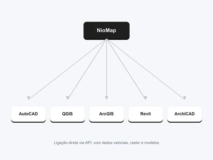
Direct connection to AutoCAD, ZWCAD, QGIS, ArcGIS, Aplitop MDT, Revit, ArchiCAD, ARCHLINE.XP and Blender
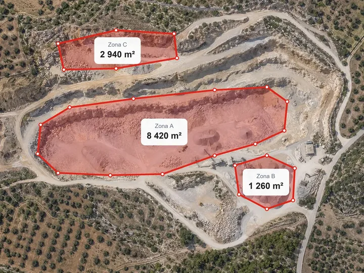
Vector data: boundaries, lines and measurements
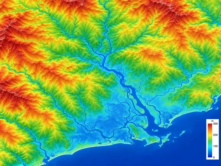
Raster data: orthophotos and elevation models
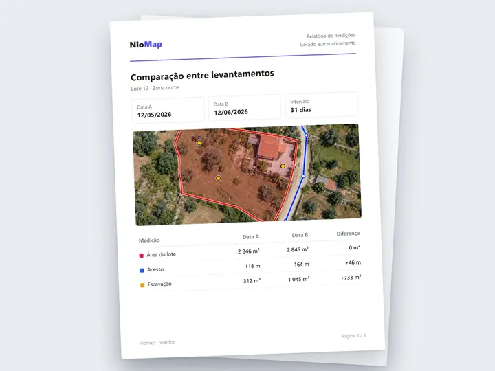
Reports and tables as PDF and CSV
Important note. Available connections have their own configurations. Contact the team to discuss your use case.
FAQ
What people usually ask.
Which programs does NioMap connect to?
AutoCAD, ZWCAD, QGIS, ArcGIS, Aplitop MDT, Revit, ArchiCAD, ARCHLINE.XP and Blender. The connection is via API, WMTS or IFC, depending on the program.
What data can I send?
Vector data (boundaries, lines and measurements), raster data (orthophotos and elevation models) and 3D models.
Do I need to convert files?
No. With the API connection, the data goes straight from NioMap into the program. If you prefer, you can also export files, such as PDF reports or CSV tables.
Do I have to redo the survey for each program?
No. The survey is processed once in NioMap and can be sent to several programs.
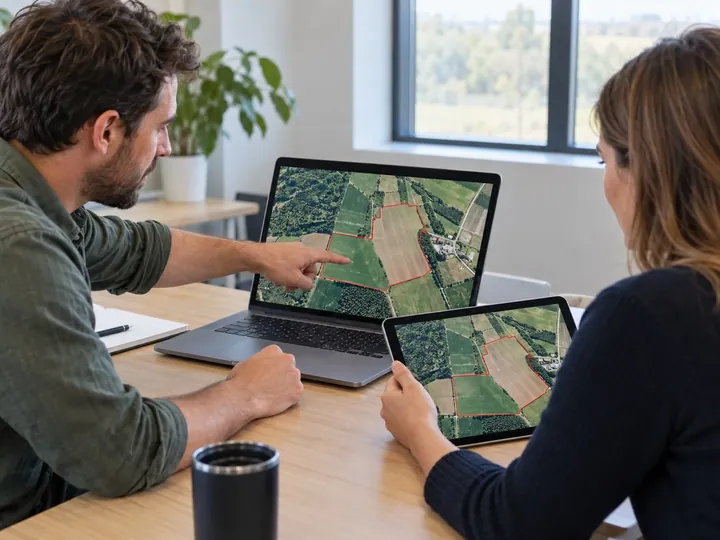
Share surveys and results
Invite people or companies, or send a link. The administrator chooses what each one can do: view, measure and comment, or edit.
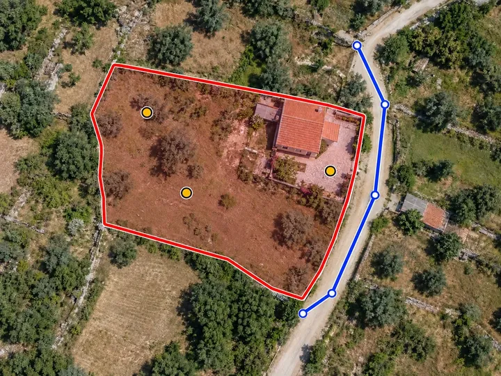
Measure areas
Draw the boundary of any zone on the map and get its flat area, its real (3D) area and its perimeter. The measurement is kept with the survey and its date.
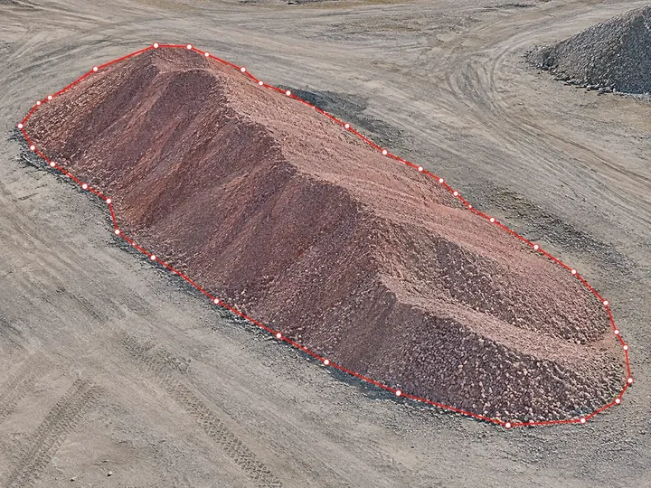
Calculate volumes
Outline the zone and choose the reference: a plane, a base level or the design surface. You get the cut and fill volumes, with a map of each zone.
Connect NioMap to your software.
Create a free account and send your survey results to the program where the work continues: it includes 1 hour of processing and 10 GB of storage. If you have questions, talk to us.