Land and buildings
See a real example NioMap
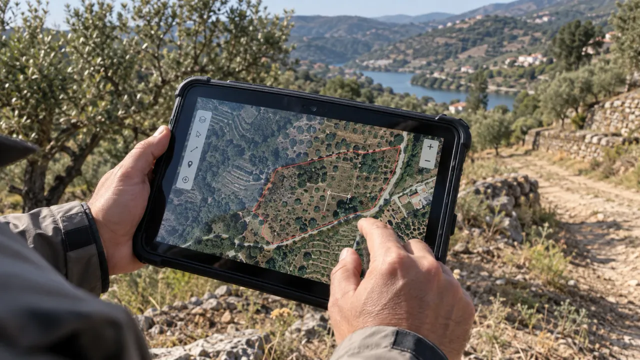
From flight to result in minutes: upload the photos from your drone or smartphone and measure, compare and share the terrain in the browser.
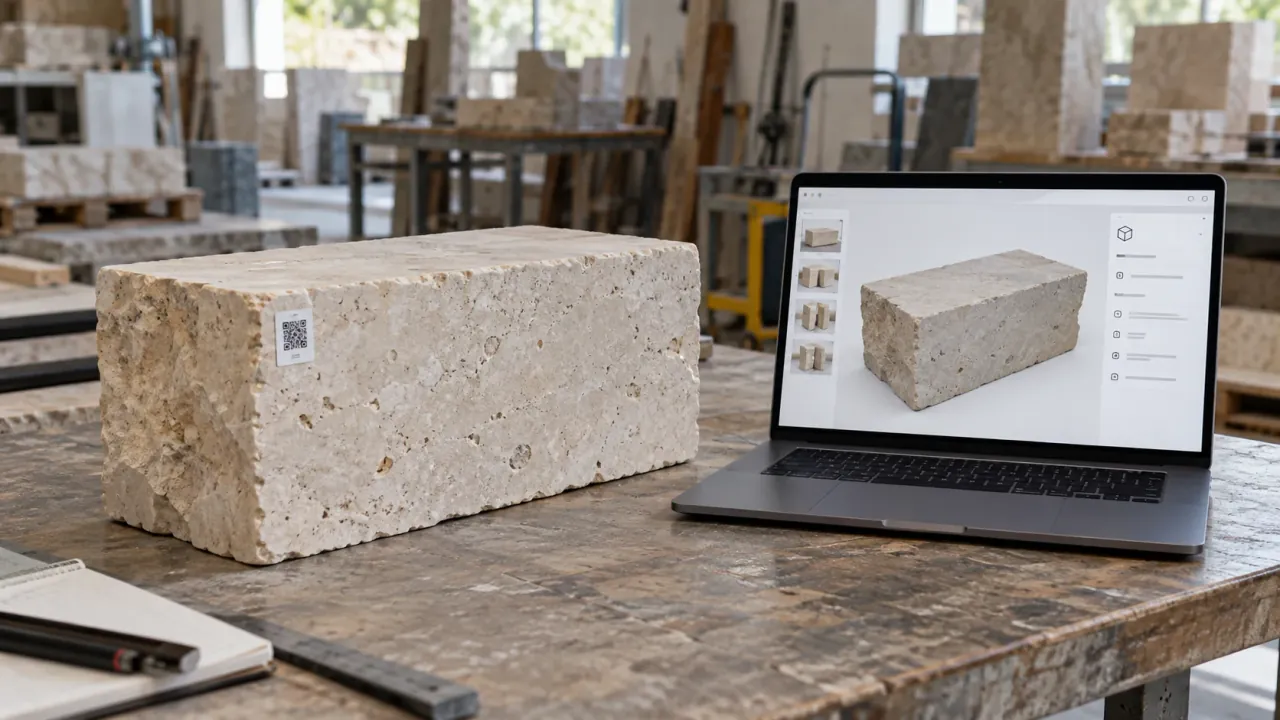
- Orthophoto, 3D model and elevation model
- Areas, volumes and profiles, up to 5 cm accuracy
- The same site compared across dates
Free account: 1 h of processing and 10 GB
Discover NioMap