
01Measure the area and shape of the land.
Draw the boundary on the map and get the flat area, the real (3D) area and the perimeter.
Measure areasReal estate
Land area, relief and slope, on a map and a 3D model you share by link.
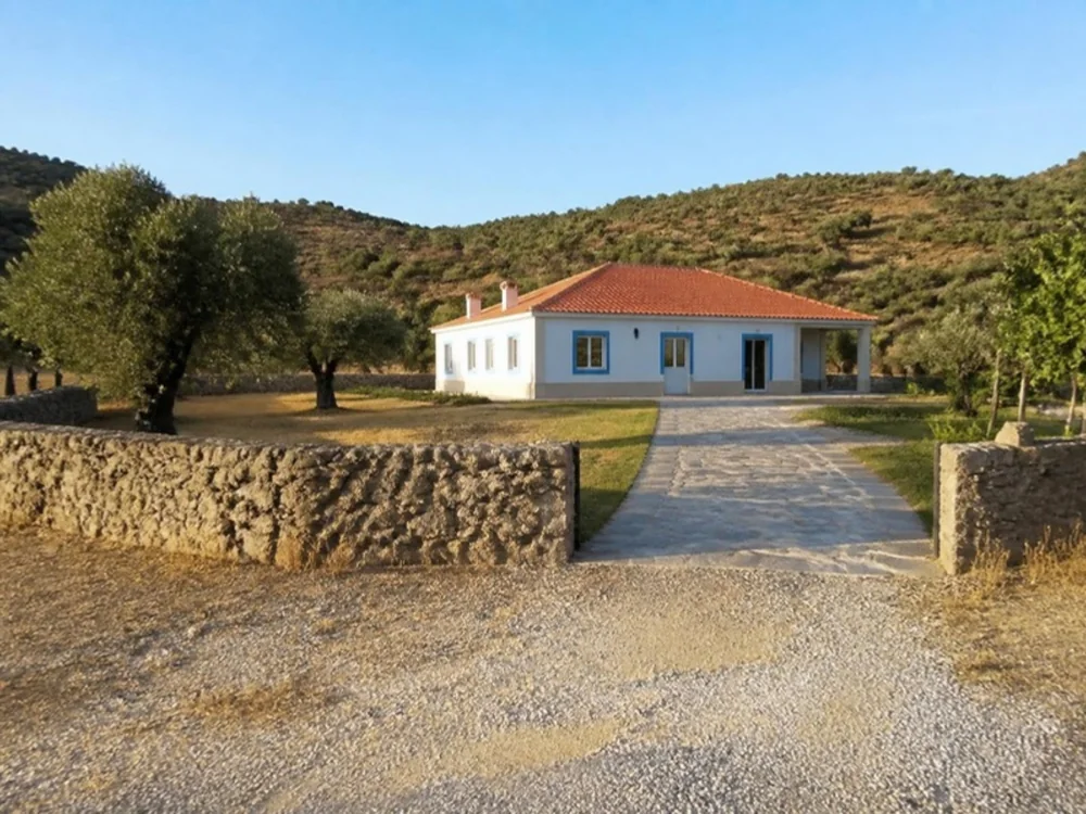
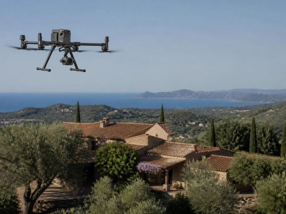
Illustrative scenario
After the flight, the agency uploads the data to NioMap and sends the link to the buyer. They see the area, relief and access of the land before booking a visit.
Draw the boundary on the map and get the flat area, the real (3D) area and the perimeter.
Measure areasDraw a line on the map and see the elevation difference and slope, without going there.
Measure elevations, distances and profilesThe slope map shows, in colours, which part of the land is flat and which is steeper.
Analyze slopesOrthophoto and 3D model of the land, with the date, the surroundings and the paths in view.
Document site conditionsSend a link. The map and 3D model open in the browser, with no account and nothing to install.
Share surveys and resultsSend orthophotos, models and measurements directly, via API, WMTS or IFC, to AutoCAD, ZWCAD, QGIS, ArcGIS, Aplitop MDT, Revit, ArchiCAD, ARCHLINE.XP or Blender.
Export results and use integrationsNo account needed
Open the 2D map or turn the 3D model of a drone survey, in the browser.
Real survey data, shared as an example.
Create a free account and try it with your own survey data: it includes 1 hour of processing and 10 GB of storage. If you have questions, talk to us.