
Upload
Send the survey photographs and give the job a label and a date.
NioMap
From flight to result in minutes, with nothing to install. Upload the photos from your drone or smartphone, get the orthophoto and the 3D model, and measure, compare and share in the browser.
Free · 1 h of processing · 10 GB · Nothing to install
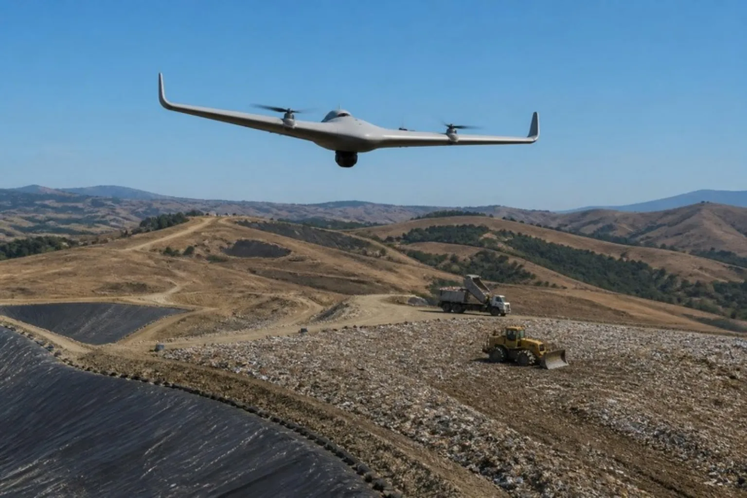
If you have no drone or don't fly, hire the capture on NioPilot, inside the app: choose the pilot, the drone and the sensor and follow the request until you get the data. Available on paid plans.
NioMap is built so that each company can fly its own surveys. Use your own equipment, upload the photographs you collected and set up the results you need.
The final quality also depends on the flight planning, the drone and camera used, the positioning and the conditions found on site.
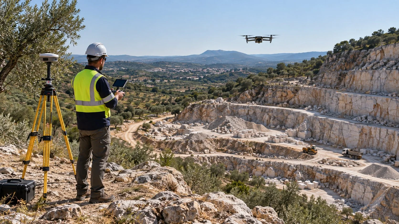
Every job starts from one of three data types. Choose the one that matches what you have.
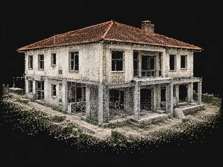
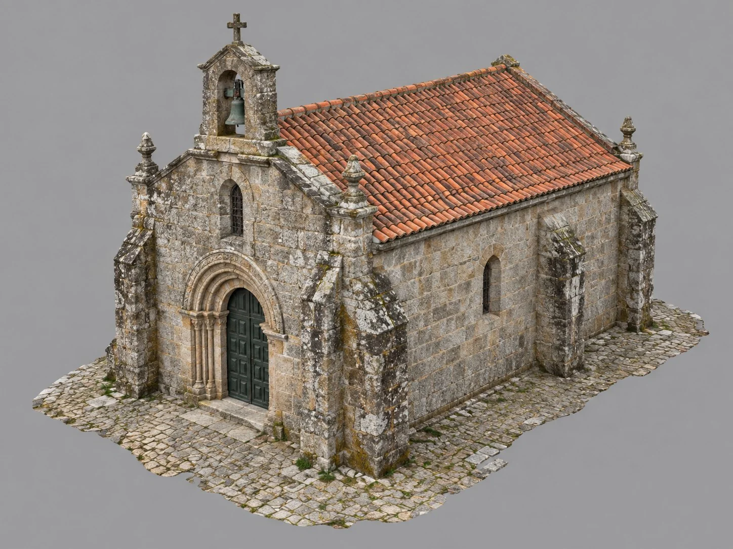
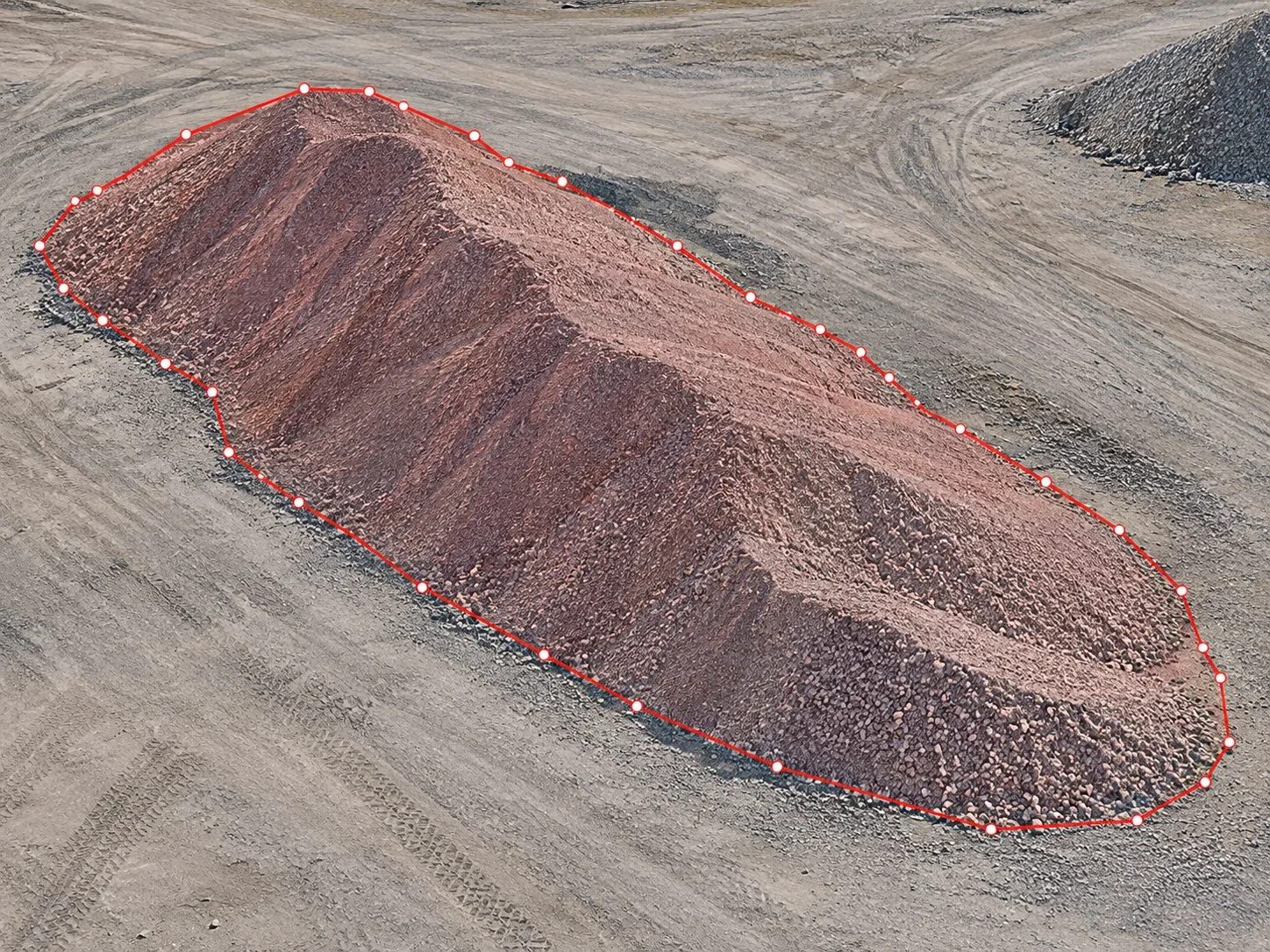
Upload the photographs of a building, land or other site to create 3D models, maps and volumes.
Already have the results? Import the orthophoto and the elevation model and get maps, contours and volumes.
A paid add-on for repeat surveys of the same site: upload the data and processing runs on its own, with the parameters already set, through to the final results.
Send the survey photographs and give the job a label and a date.
Set the coordinate system and the results land in the right place on the map.
Generate only the maps, models and files the job needs.
See where each job stands, who created it and how long it took.
Open the results in the browser or download the files for your own software.
Explore the results you can obtain from your survey data.
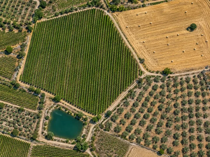
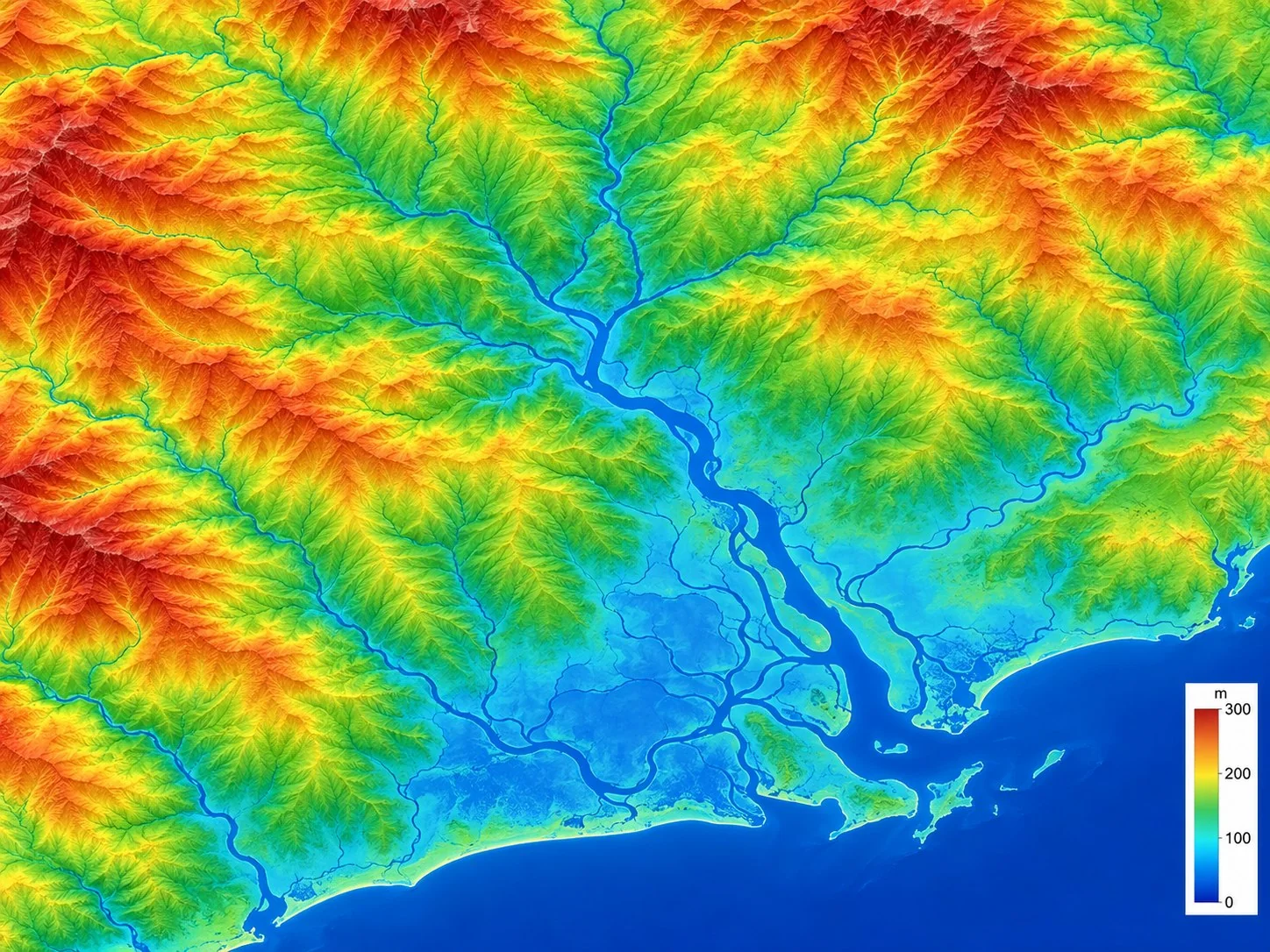
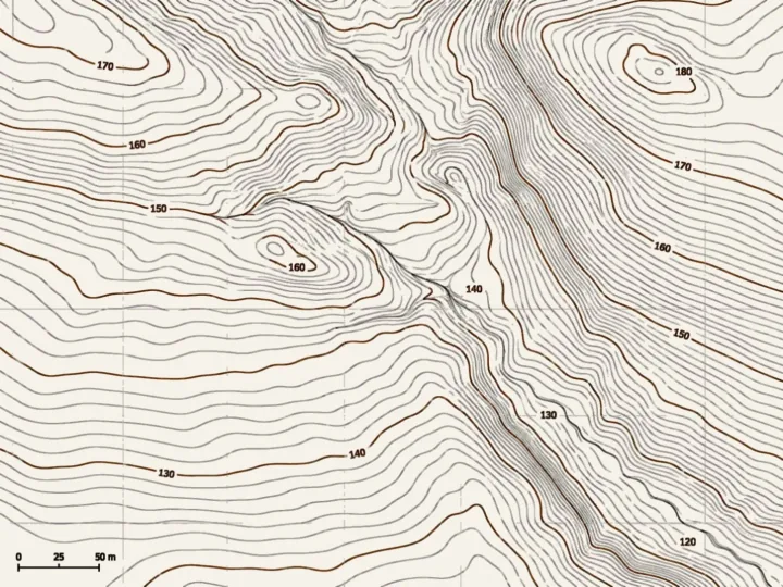
Compare positioning options and plan the capture around your project.
Create a free account, with 1 hour of processing and 10 GB, or talk to us about the data you work with.