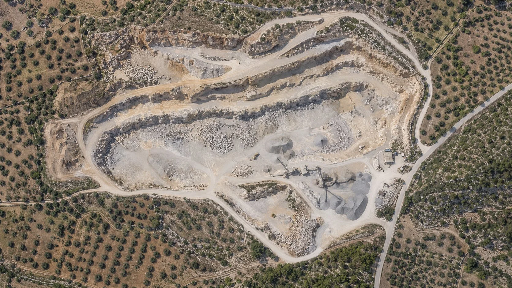
Private
A job does not start out public. It stays in the project until it is shared.
NioMap
From flight to result in minutes, with nothing to install. Upload the photos from your drone or smartphone, get the orthophoto and the 3D model, and measure, compare and share in the browser.
Free · 1 h of processing · 10 GB · Nothing to install
Give access to projects, maps and models without sending files.
When the work needs to continue outside NioMap, use the API, WMTS services or IFC models to connect the data to your team's applications.
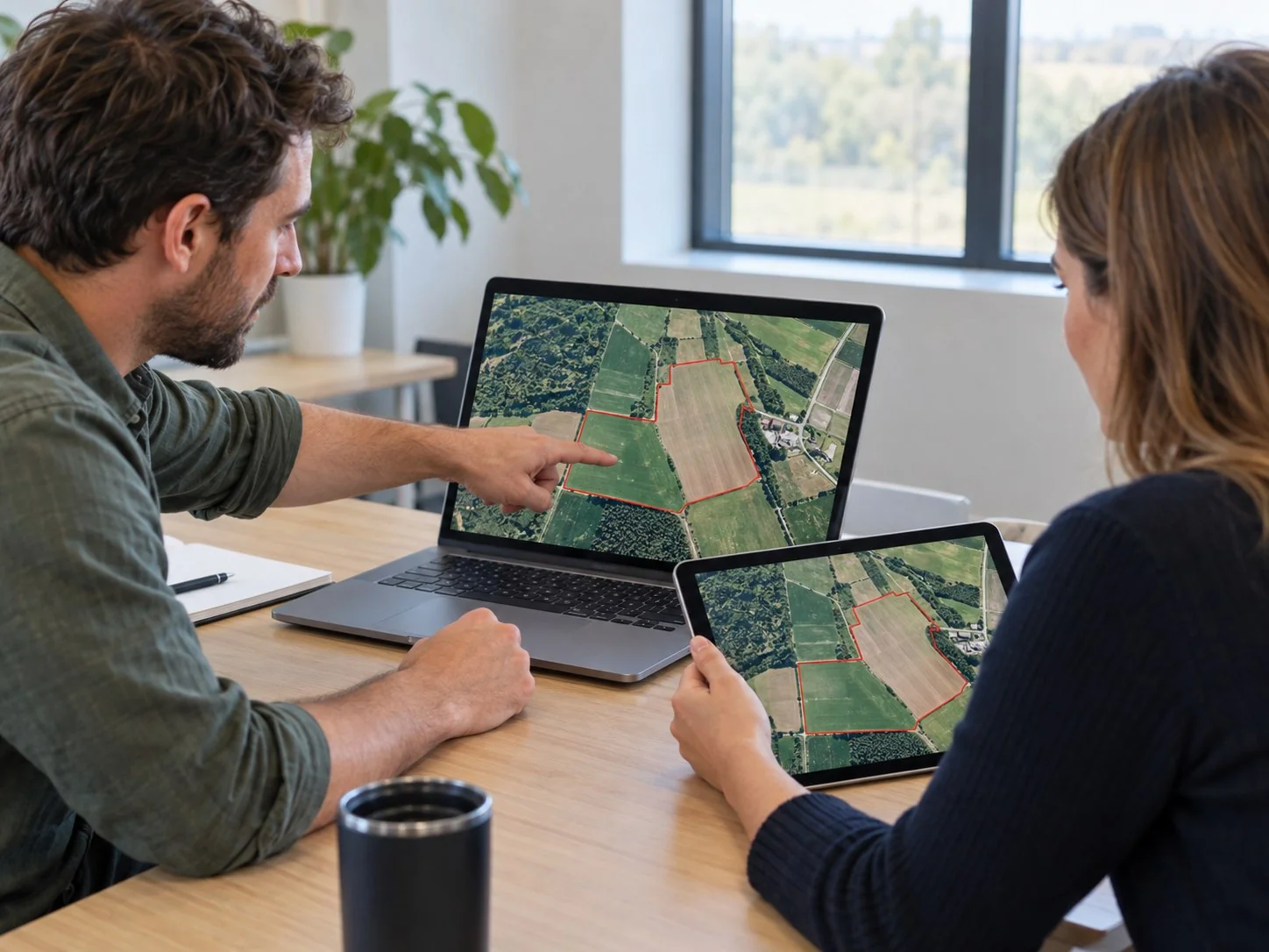
A job does not start out public. It stays in the project until it is shared.
Share a survey's work and the team views it in the project itself.
Paste the code into your company's website and the map and 3D model appear there, ready to explore.
Share or download the files generated in each job.
Choose the connection type according to the data and the application you want to use.
Use the REST API to connect external applications and integrations to the data and actions made available by NioMap.

Add the WMTS service address and combine NioMap results with the rest of the project's geographic information.
 ArcGIS Pro
Create a connection to the WMTS server and view the project's updated layers.

Open the project service in ZWCAD and use the maps to support technical drawing and terrain representation.
 Aplitop MDT
Connect the data through WMTS and use it in surveying and civil engineering workflows.

Send orthophotos, contour lines and measurements via API and carry on the technical drawing in AutoCAD.
 Revit
RevitUse the Revit integration to connect NioMap results with your project.

Add the site context to the project through IFC.

Use the ARCHLINE.XP integration to bring NioMap results into the architectural project.

Take the survey's 3D model into Blender, via API, for visualization and presentation.
The brands and products mentioned belong to their respective owners. The reference indicates technical compatibility and does not imply any partnership or commercial association.
Tell us which application you use, what information you need to view and how you want to integrate it into your workflow.