
Create the request
Specify the site, date and area. Choose the purpose, a one-off or periodic survey, and the results.
NioPilot
Choose a certified pilot in the NioMap app, see the price before confirming and get maps, 3D models and measurements in your account.
A NioMap add-on service, available on paid plans.
Certified pilots capture the data and NioMap processes it in minutes. You only pay for the service you confirm, with no drones to buy or teams to train.

No equipment to buy, licences to get, insurance to take out or staff to train.
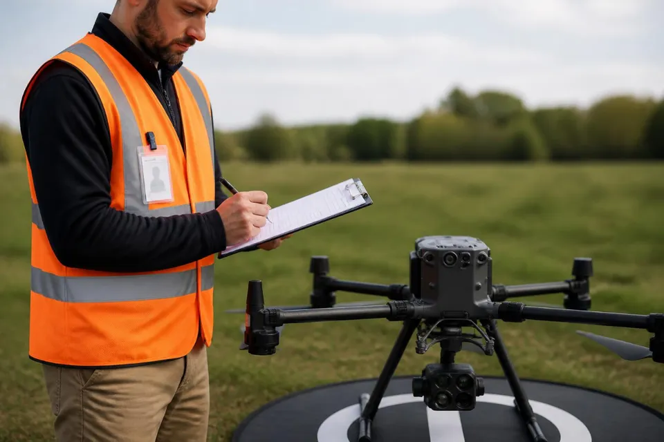
Certification, insurance, their own equipment and NioPilot training, checked before they join the network.
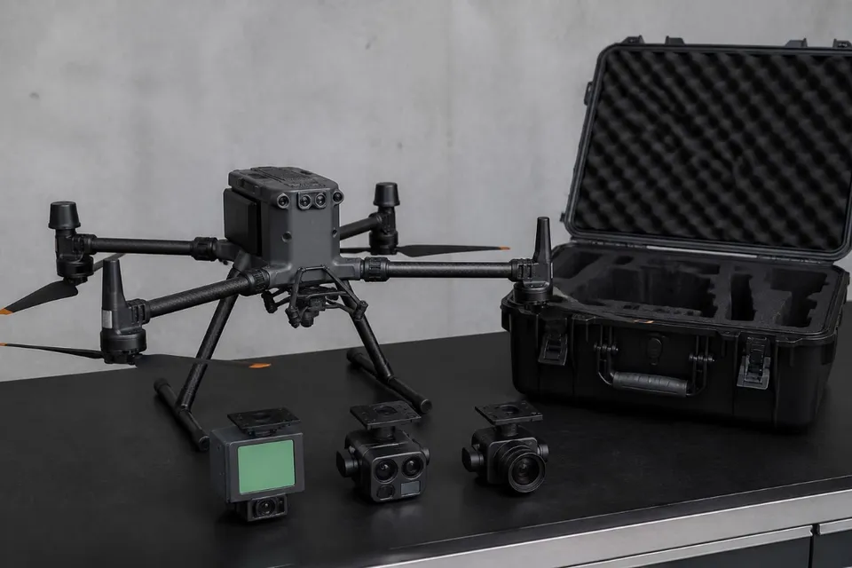
See each pilot's drone and camera and choose what best suits the job.
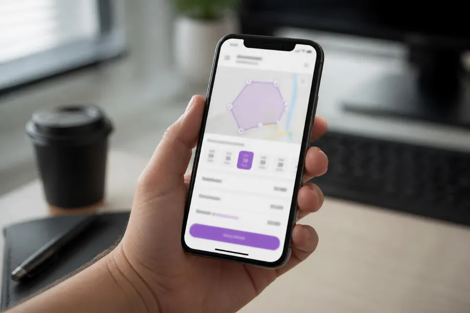
You see the price and date, and only pay for the service you confirm.
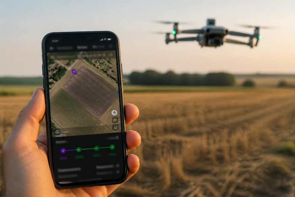
In the app, from request to data delivery, like a ride-hailing app.
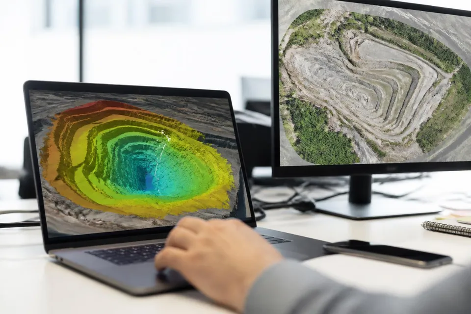
Processed in NioMap with the options in your request. Periodic captures to compare dates.
In the request, state the purpose of the job. The pilot captures the right data and NioMap delivers these results.
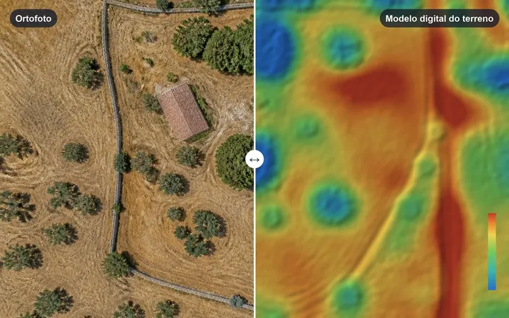
Orthophoto, 3D model, digital elevation model and contour lines.
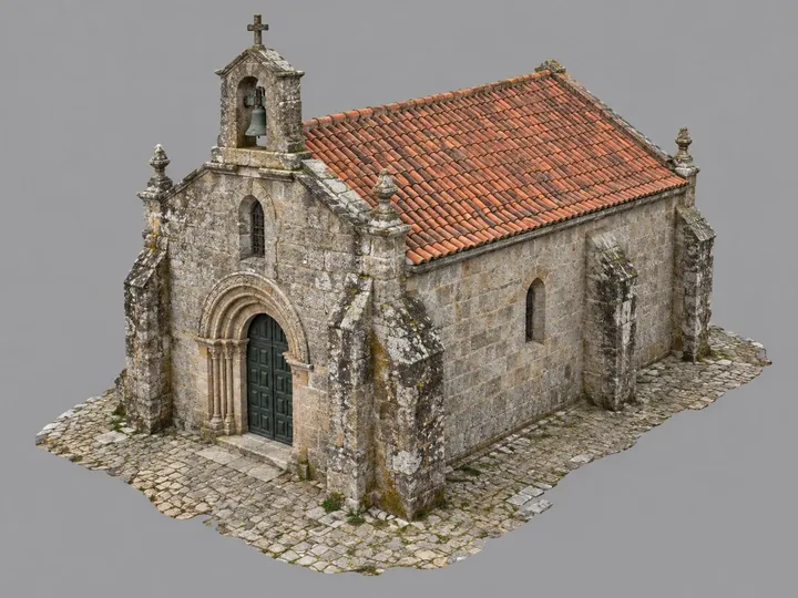
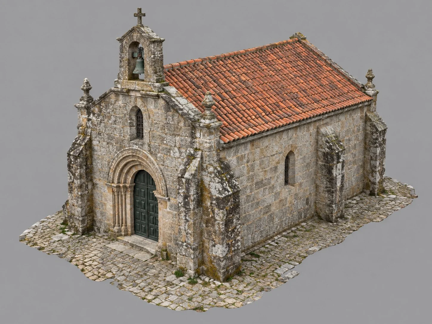
3D model of the building and orthophotos of the façades, to scale.
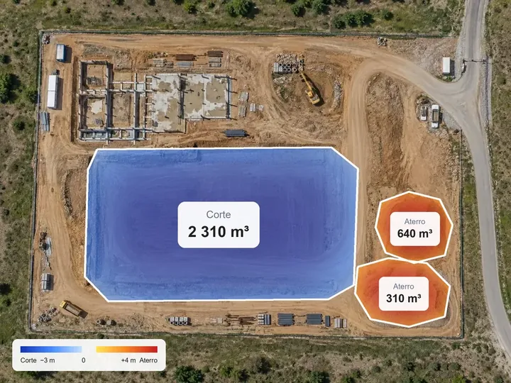
Volumes of stockpiles, excavations and fills, with a cut-and-fill map by zone and a measurement report.
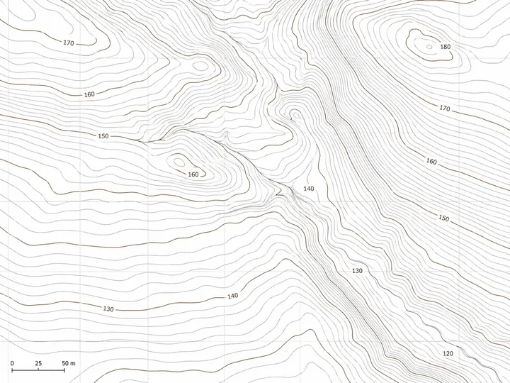
Orthophoto, contour lines and elevation model, ready to export to AutoCAD, QGIS and other software.
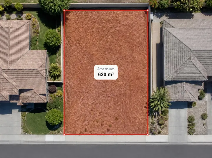
Boundaries, area and perimeter of the property on a georeferenced orthophoto, to support registering or updating the cadastre.
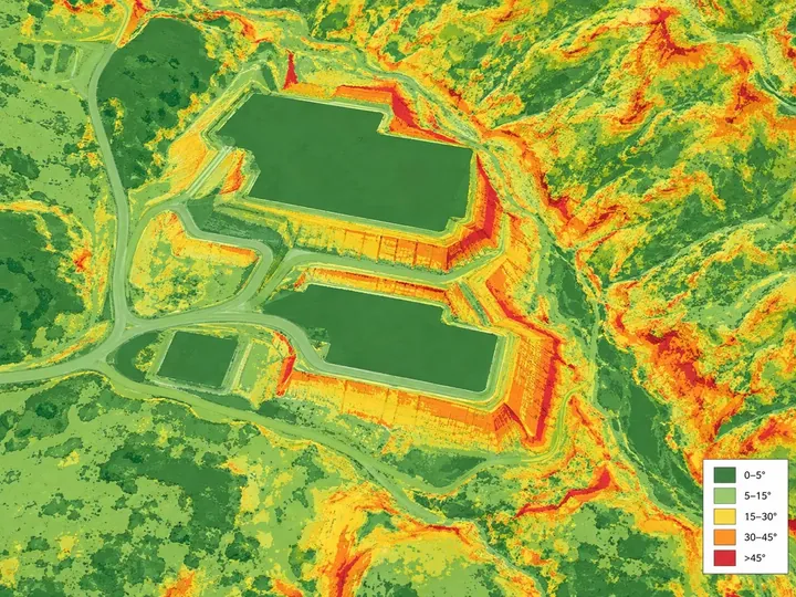
Slope map by class and profiles along a line, with elevations and gradient.
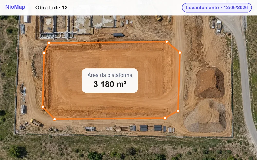
Periodic captures, with an orthophoto and 3D model for each date, to compare progress.
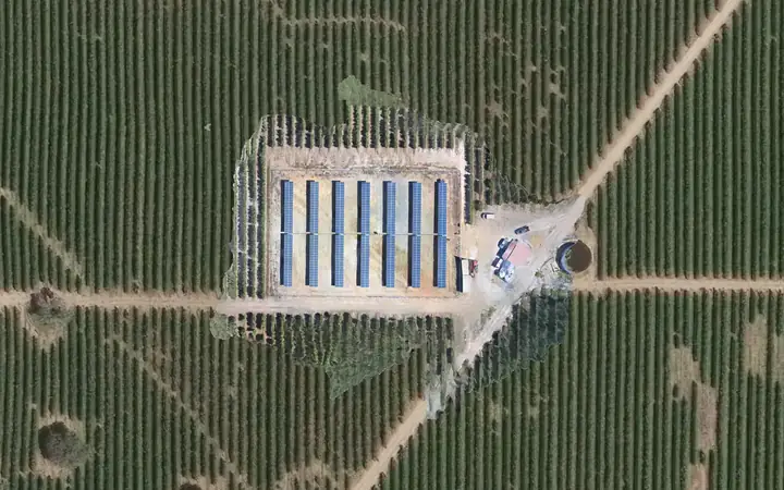
Orthophoto and 3D model of the farm at each capture, to keep track of the panels and the ground.
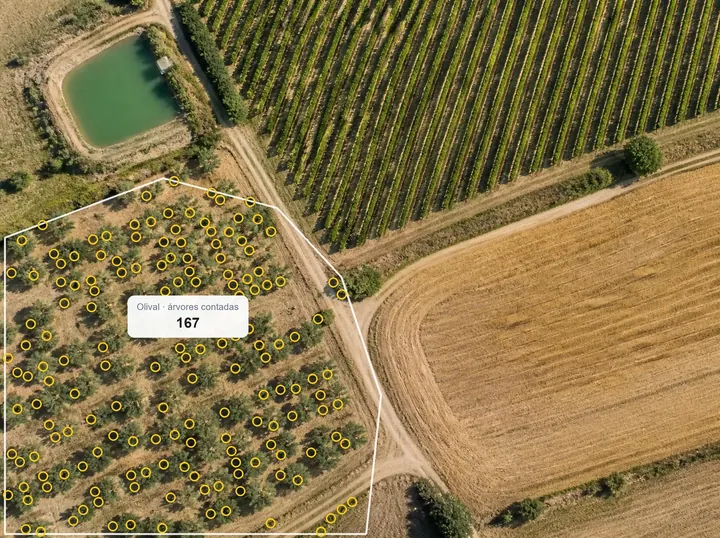
Plant counting and detection of gaps in rows, with satellite NDVI via WMS.
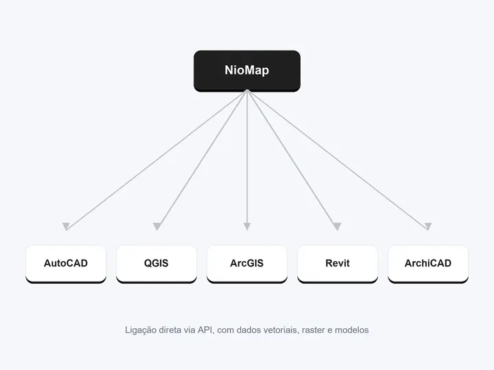
3D model, point cloud and measurements for AutoCAD, Revit, ArchiCAD and other software.
In the NioMap app, like a ride-hailing app: you choose, confirm and follow every stage.
Specify the site, date and area. Choose the purpose, a one-off or periodic survey, and the results.
See the certified pilots who cover the area, with each one's drone and sensor, and choose what you need.
You see the price and date before confirming. Once paid, you follow the request in the app.
The pilot carries out the survey on the agreed date and delivers the data to NioMap.
NioMap processes the data with the options in your request and the results appear in your account.
When processing finishes, your results are available in NioMap, ready to use.
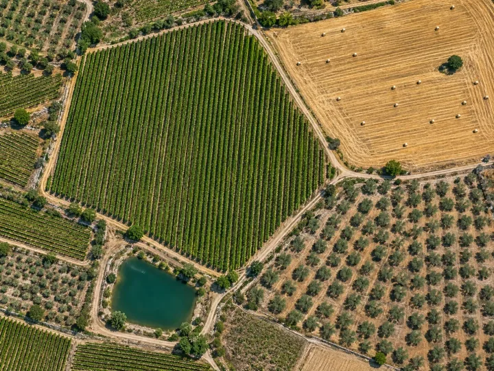
Sign in and prepare your request in NioPilot, available on paid plans. If you need help choosing a plan or defining the work, talk to the team.
Are you a drone pilot? See how to join the NioPilot network