
Photos taken with a drone or a smartphone, for photogrammetric processing, or results already processed, such as orthophotos and elevation models. The viewer also accepts vector data, rasters and map services. See surveys.
Community
Downloads
Data to try.
Real photos to upload to your account: flights to get the orthophoto, 3D model and DEM in NioMap, and objects to create the 3D model in NioBook.
How to try it
- 01
Download the data
Choose a dataset below and download the flight photos.
- 02
Create a free account
It includes 1 hour of processing and 10 GB of storage.
- 03
Upload the photos
Create a project in NioMap and upload the dataset photos.
- 04
Get the results
Orthophoto, 3D model and digital elevation model, ready to measure and export.
Datasets
Photos from real flights, with the drone's GPS: the results are georeferenced, with less accuracy than with ground control points or RTK.
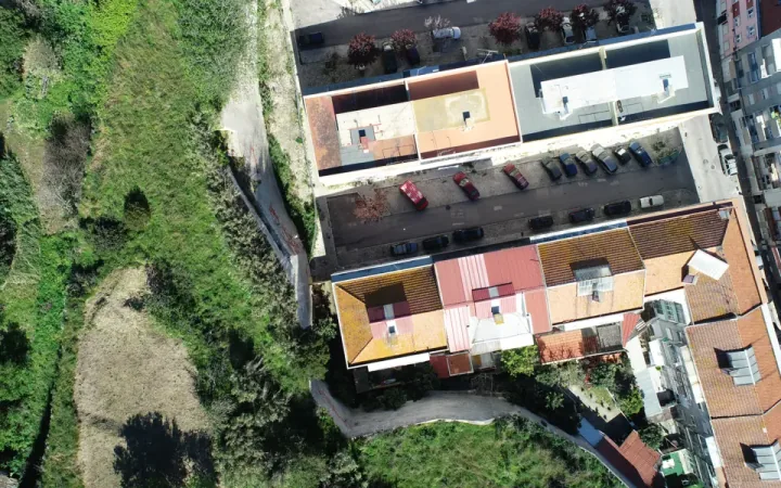
Archaeological site
216 photos from one flight, to get the orthophoto, the 3D model and the DEM.
- Archaeology
- 216 photos
- 1.6 GB
- DJI Phantom 4 Pro
Download soonRequest access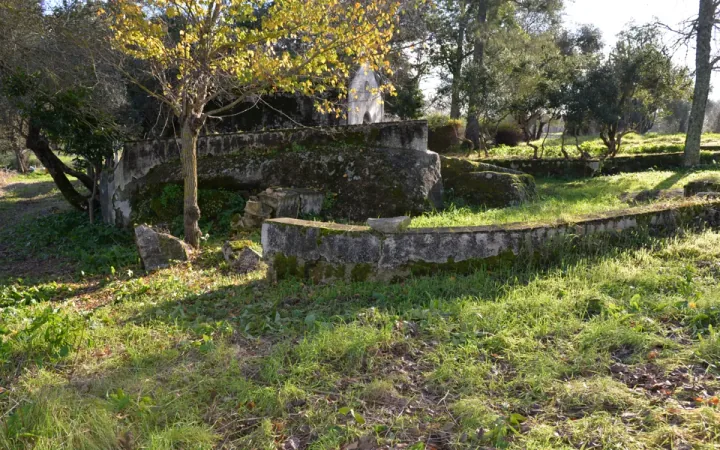
Chapel
463 hand-held photos taken from the ground and 7 drone photos, to get the 3D model of the building.
- Heritage
- 470 photos
- 1.6 GB
- Nikon D610 + DJI Phantom 4 Pro
Download soonRequest access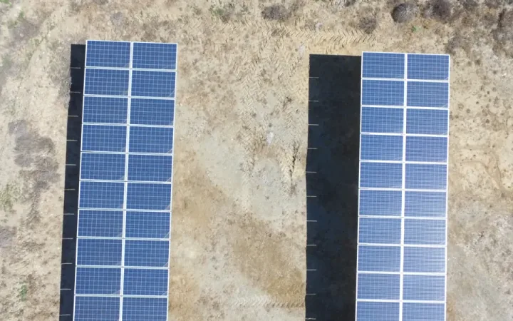
Solar farm
222 photos from one flight, to get the orthophoto, the 3D model and the DEM.
- Solar energy
- 222 photos
- 1.1 GB
- DJI Phantom 3
Download soonRequest access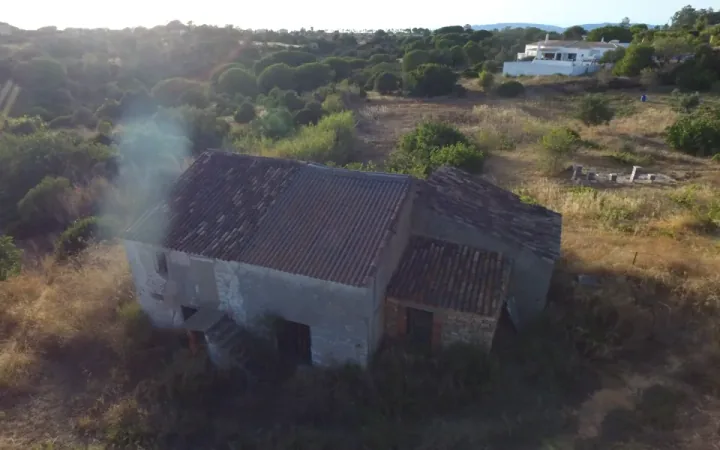
Plot of land
269 photos from one flight, to get the orthophoto, the 3D model and the DEM.
- Real estate
- 269 photos
- 1.3 GB
- DJI Phantom 3
Download soonRequest access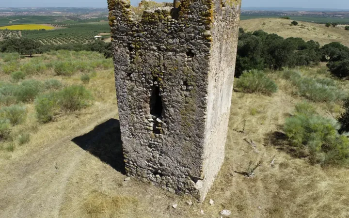
Tower
271 photos from one flight, to get the orthophoto, the 3D model and the DEM.
- Heritage
- 271 photos
- 2.3 GB
- DJI Phantom 4 RTK
Download soonRequest access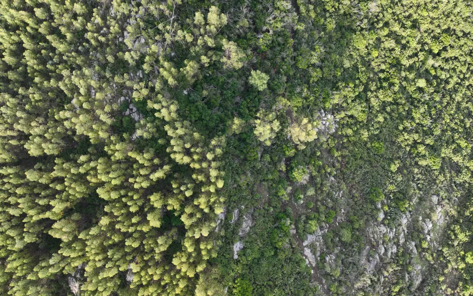
Forest
286 photos from one flight, to get the orthophoto, the 3D model and the DEM.
- Forestry
- 286 photos
- 2.7 GB
- DJI Zenmuse L2
Download soonRequest access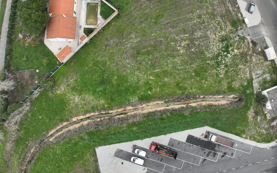
Agriculture
129 photos from one flight, to get the orthophoto, the 3D model and the DEM.
- Agriculture
- 129 photos
- 0.8 GB
- DJI Zenmuse L2
Download soonRequest access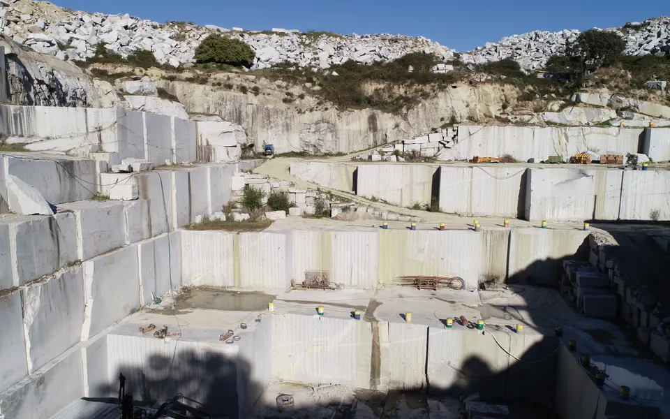
Quarry
116 photos from one flight, to get the orthophoto, the 3D model and the DEM.
- Mines and quarries
- 116 photos
- 0.9 GB
- DJI Phantom 4 Pro
Download soonRequest access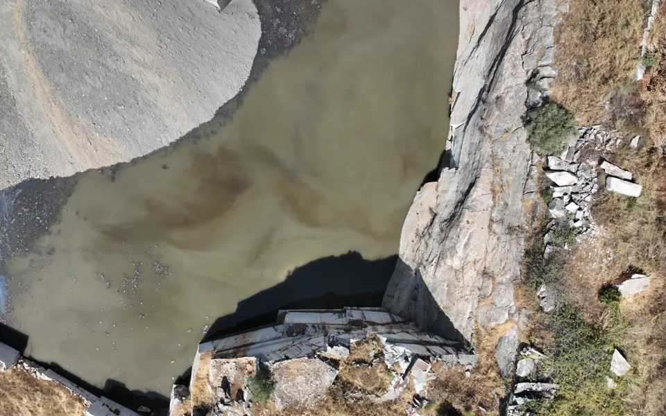
Landfill
220 photos from one flight, to get the orthophoto, the 3D model and the DEM.
- Landfills
- 220 photos
- 1.7 GB
- DJI Matrice 4E
Download soonRequest access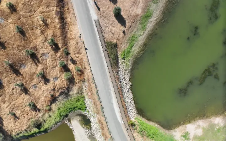
Agriculture 2
94 photos from one flight, to get the orthophoto, the 3D model and the DEM.
- Agriculture
- 94 photos
- 0.6 GB
- DJI Matrice 4E
Download soonRequest access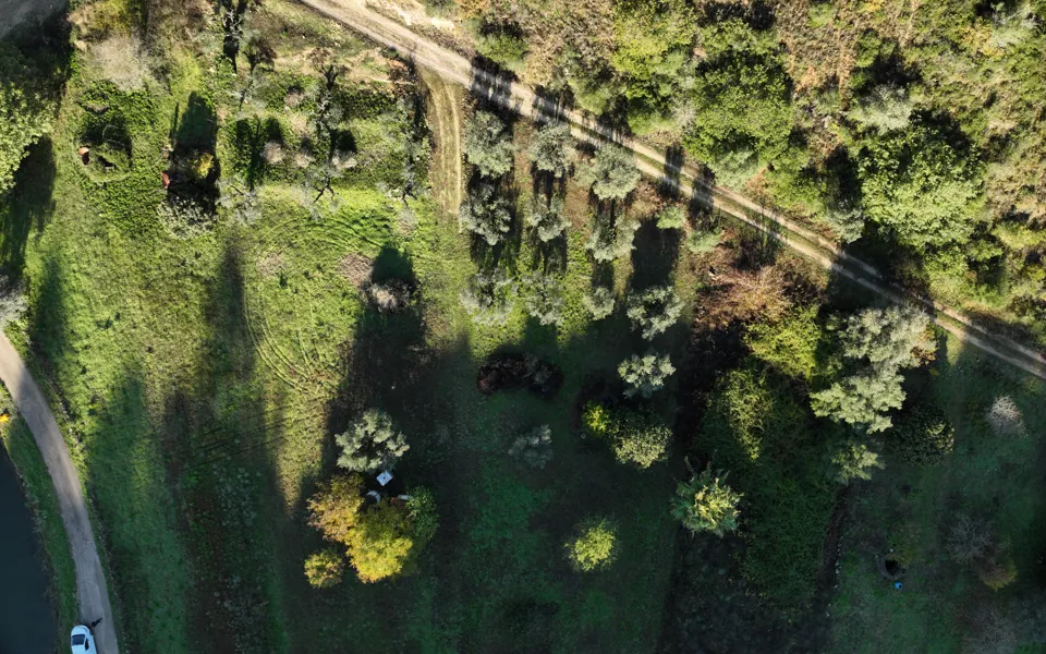
Forest 2
92 photos from one flight, to get the orthophoto, the 3D model and the DEM.
- Forestry
- 92 photos
- 0.8 GB
- DJI Zenmuse L2
Download soonRequest access
Have data to share?
If you would like to make a flight available to the community, talk to us.
Using your own flight?
- Use photos with good overlap, taken on the same flight.
- For accuracy up to 5 cm, include ground control points or an RTK system.
- Check that the data fits in the 10 GB of the free account.
Questions about processing
Free account
Try it with your own data.
Create a free account: it includes 1 hour of processing and up to 10 GB of storage.