There is no single price for a drone survey. The cost depends on the job: the size of the area, the accuracy you need, the results you want and how often the site has to be flown. Knowing these factors helps you order only what you need and compare offers.
1. The area and the terrain
The larger the area, the more flight time and photos. Steep relief, dense vegetation or tall buildings mean flying lower or making more passes. Large open areas are covered faster with fixed-wing drones; small sites or sites with obstacles, with multirotors.
2. Accuracy
Measuring with accuracy up to 5 cm needs ground control points or an RTK drone. That adds field work or calls for better equipment, but it is essential for volumes, topographic plans or design work. For an overview or to follow a construction site, the drone's own GPS may be enough.
3. The results you order
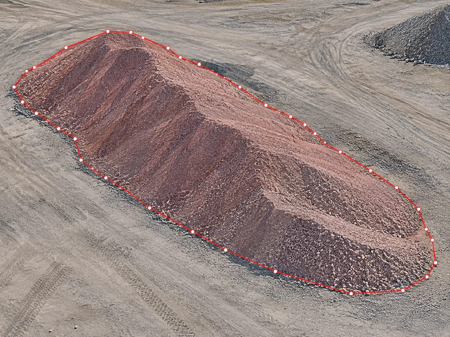
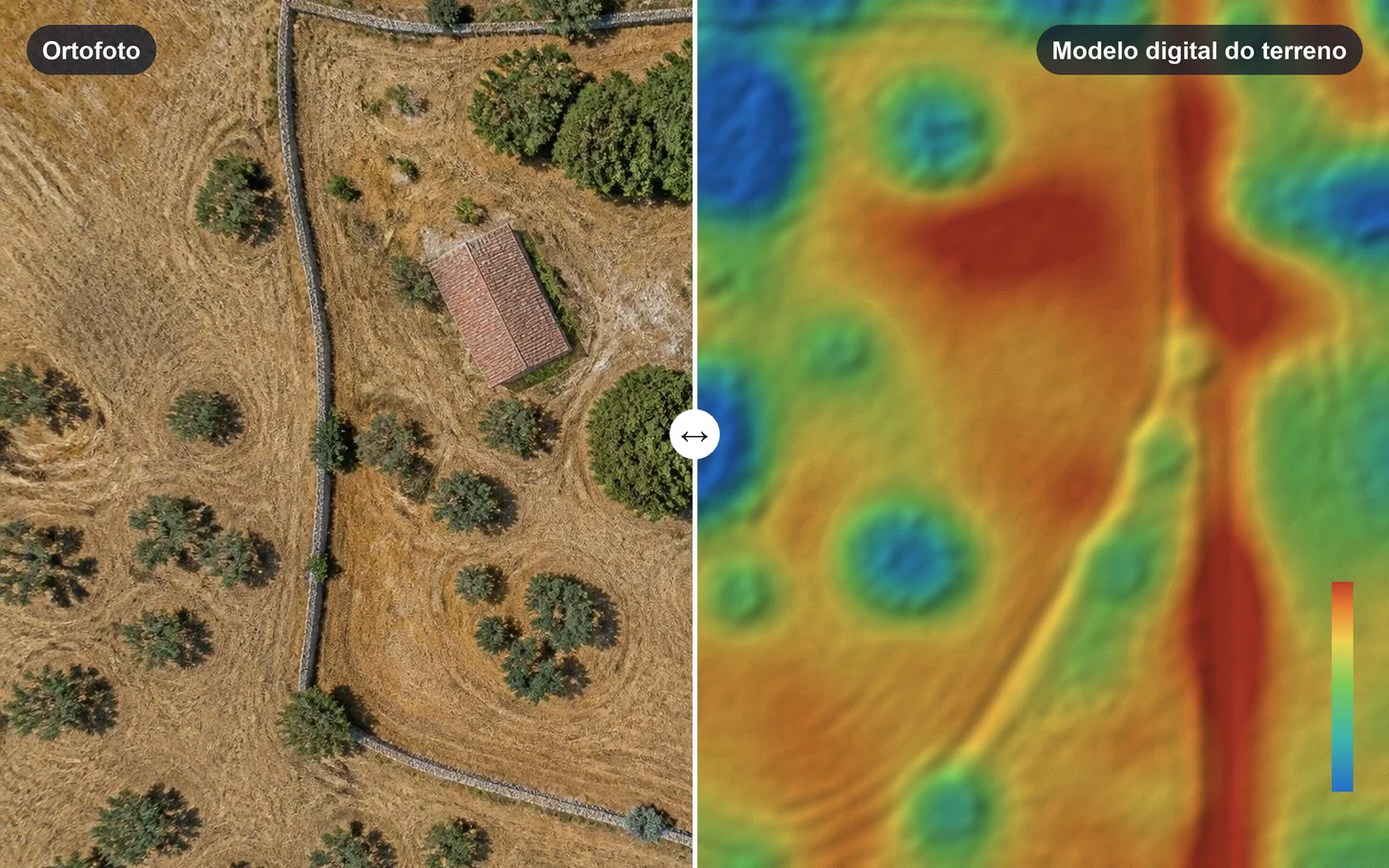
An orthophoto does not take the same work as a 3D model of a building or a volume report. Buildings also need oblique photos as well as vertical ones. Order only the results you will use: orthophoto, digital elevation model, contour lines, 3D model or volume calculation.
4. Frequency
A one-off survey is not the same as a monthly or quarterly capture. Periodic surveys let you compare dates and follow a construction site or a quarry; each capture is a service of its own.
5. The pilot and the equipment
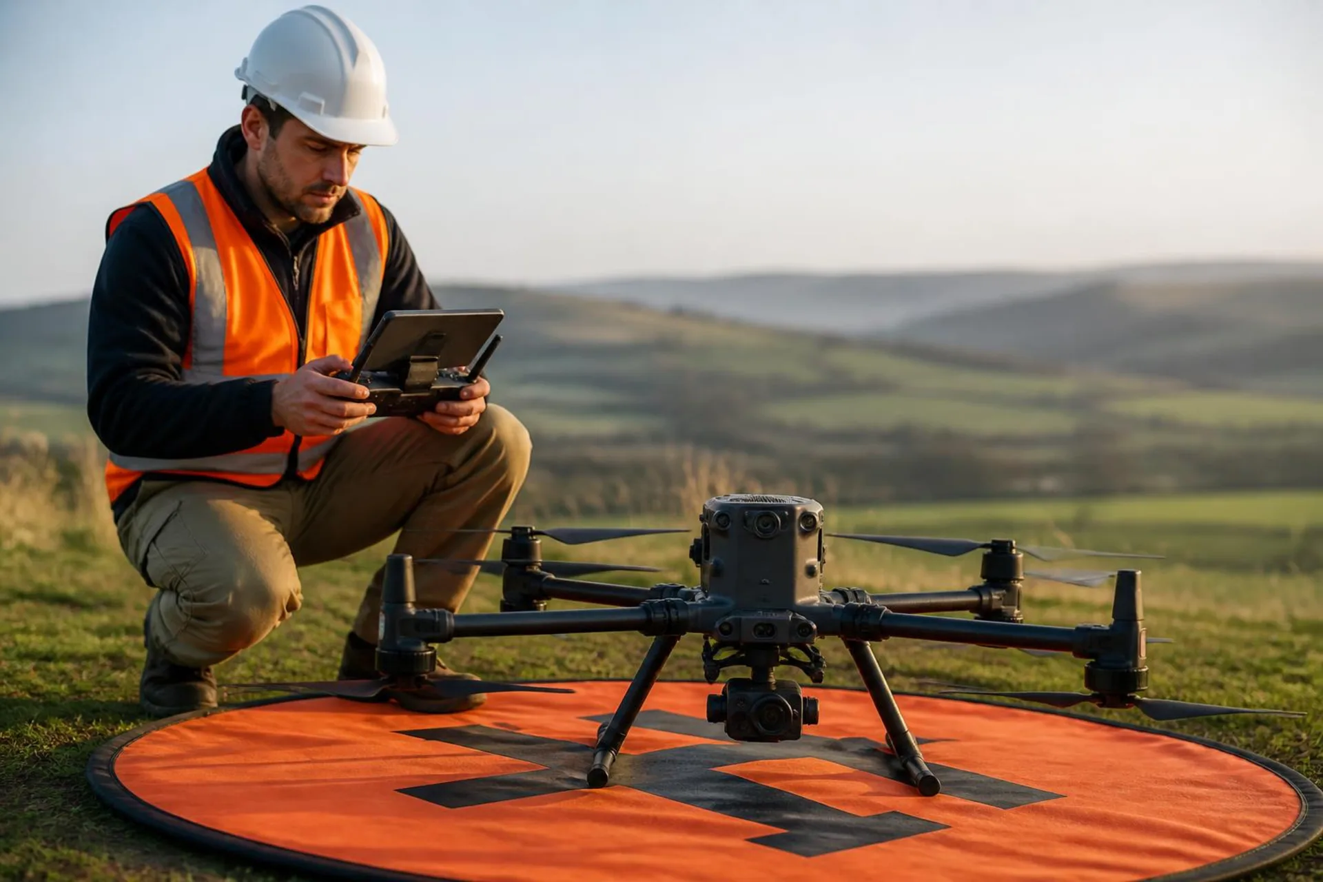
An experienced pilot, the right licences and a better drone and camera, which reduce the risk of having to fly again and give the best result.
How to know the price before confirming
On NioPilot, NioMap's pilot service, you choose the pilot and the drone in the app and see the price and date before confirming. The platform sets the price according to the pilot, the equipment and availability, and you only pay for the service you confirm. The data is processed in NioMap and the results stay in your account.