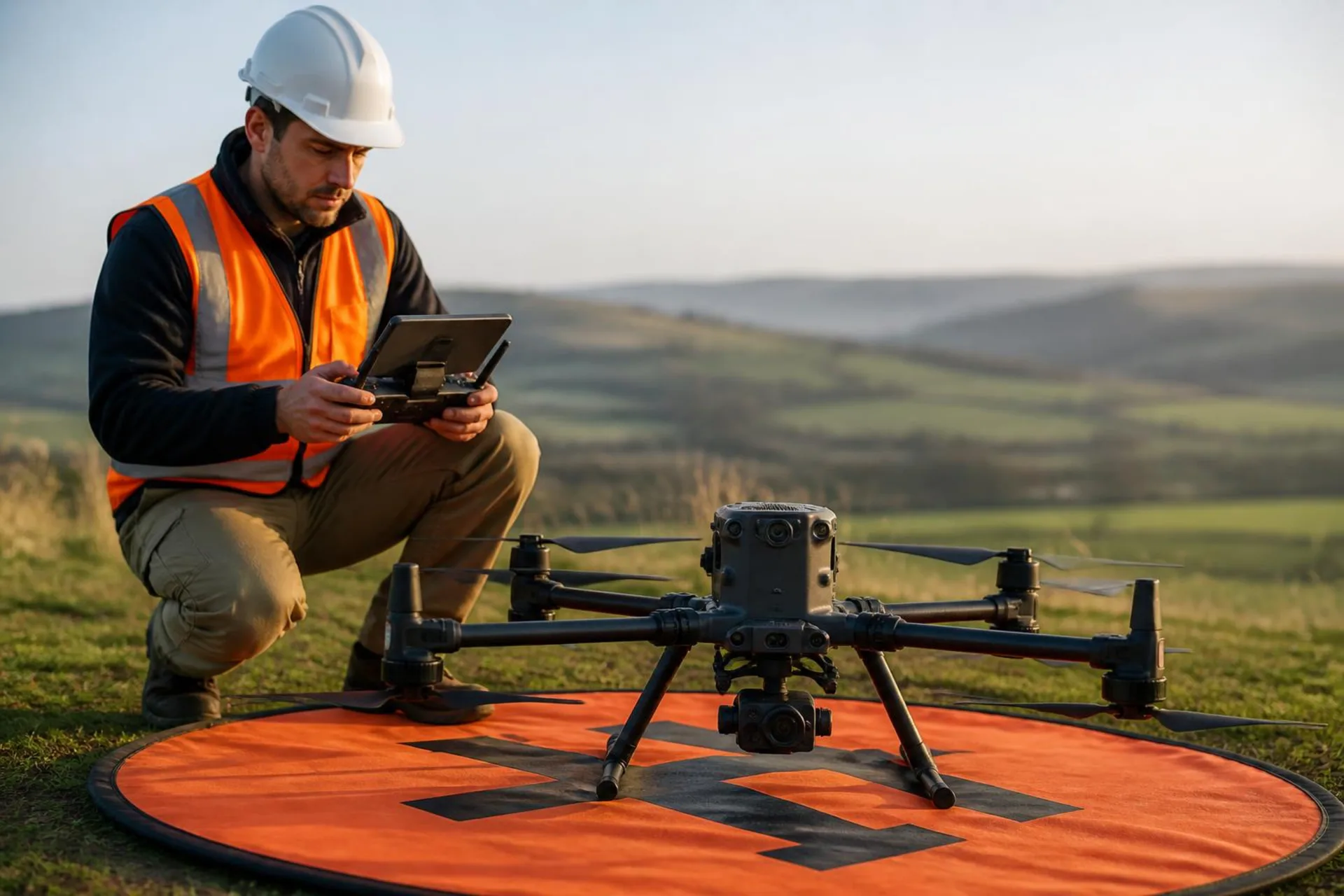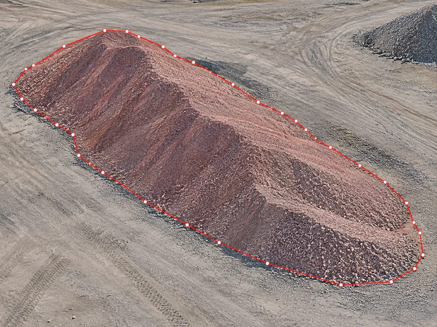
With a drone you measure the whole surface of a stockpile or excavation, not just a few points, and nobody has to climb onto the material. The process has four steps, from flight to report.
1. Plan the flight
Fly the area with enough overlap between photos to rebuild the surface. For volumes, accuracy matters: use ground control points or an RTK drone to reach accuracy up to 5 cm. No drone? Hire the capture from a certified pilot on NioPilot.
2. Process the photos
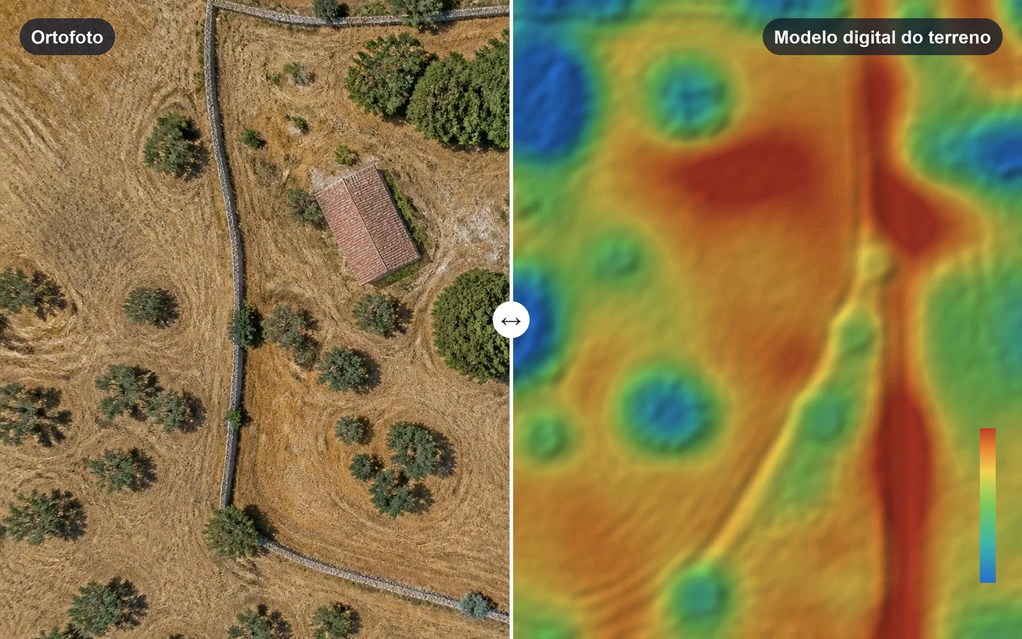
Upload the photos to NioMap. In minutes, processing produces the orthophoto, the 3D model and the digital elevation model (DEM), which is the basis of the volume calculation.
3. Choose the reference
Volume is always measured against a reference surface. In NioMap you can use:
- a plane fitted to the base of the stockpile, for single stockpiles;
- a fixed base level, for excavations to a set depth;
- the design surface, to compare the ground with what was designed.
4. Measure and create the report
Outline the zone on the map. NioMap calculates the cut and fill volume in m³ and shows the cut-and-fill map by zone. You can measure several zones in the same survey, save the measurements and gather them in a report.
Tracking over time
With periodic surveys, compare each date's measurements to know how much material came in or went out. This is how quarries, landfills and earthworks are followed.