A drone survey gives several results from the same photos. The three most requested are the orthophoto, the digital elevation model and the contour lines. They look alike, but they answer different questions.
Orthophoto: the image to scale
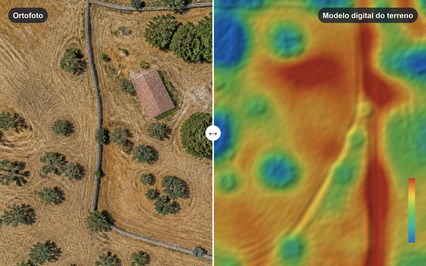
An orthophoto is an aerial image corrected so that every point is at the same scale, like a map. Unlike an ordinary photo, it lets you measure distances and areas directly. It shows the state of a site or a construction project, helps outline plots and lots and serves as a backdrop for designs.
Digital elevation model: the height of every point
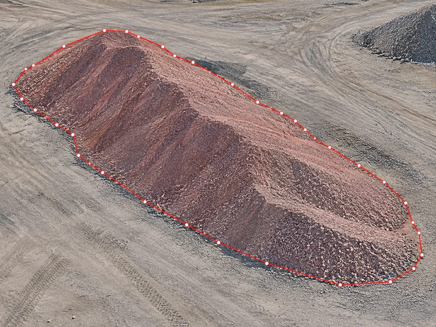
The digital elevation model (DEM) stores the elevation of every point. There are two variants: the digital surface model, which includes buildings and vegetation, and the digital terrain model, with the bare ground only. It is the basis for calculating volumes, slopes and profiles.
Contour lines: relief as a drawing
Contour lines join points of equal elevation at regular intervals. They are the classic way to show relief on a plan and the most used in architecture and engineering projects, because they are easy to read and edit in CAD software.
Which one to choose?
- See the state of a site or measure areas: orthophoto.
- Calculate volumes, slopes or profiles: elevation model.
- Prepare a design or a topographic plan: contour lines over the orthophoto.
- Show or inspect a building: 3D model.
In NioMap
When it processes drone or smartphone photos, NioMap produces the orthophoto, the 3D model and the digital elevation model, and the contour lines from it. You can measure in the browser and export to AutoCAD, QGIS and other software. The free account includes 1 hour of processing and 10 GB.