
Solution
Document site conditions
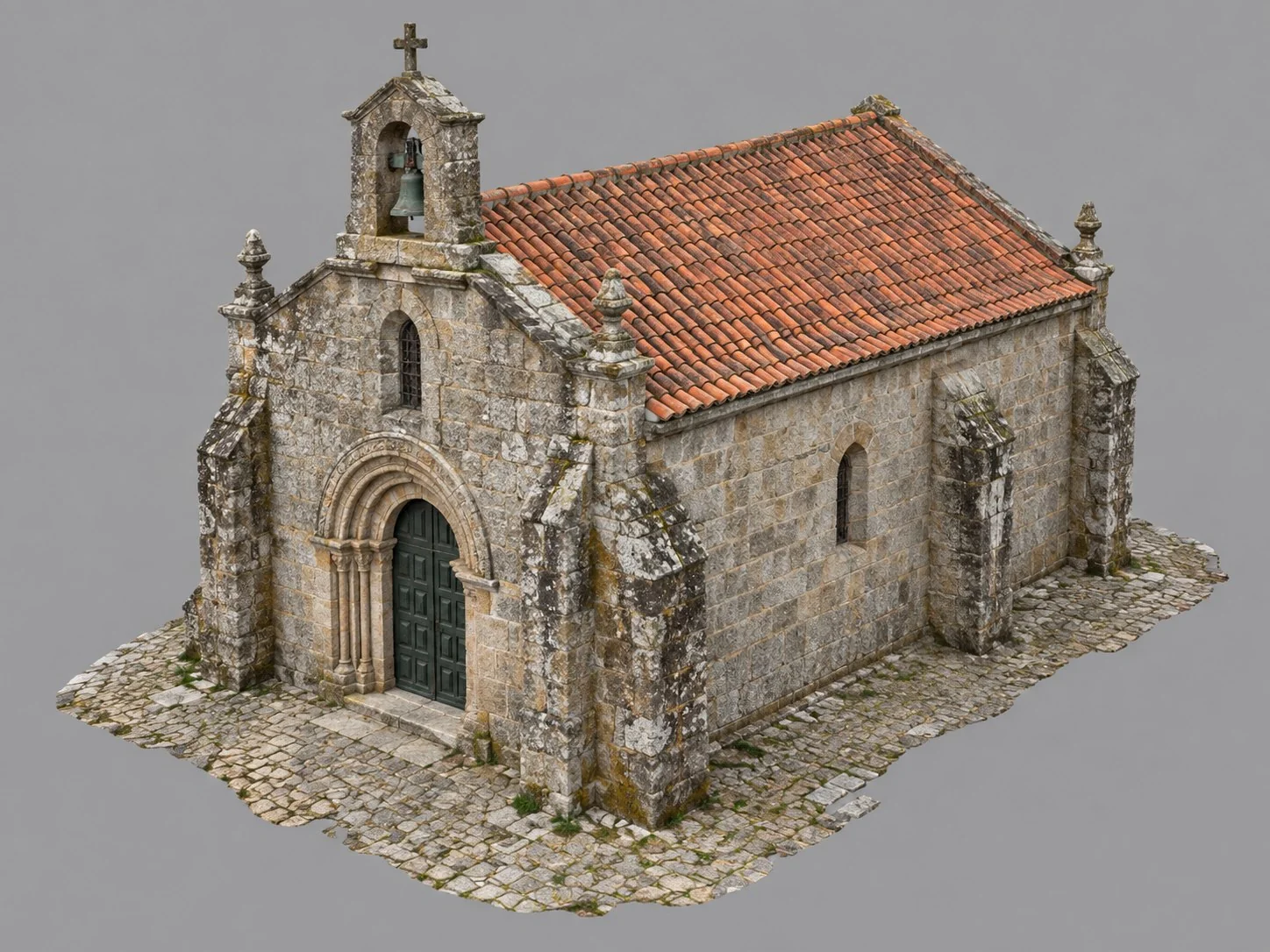
Orthophoto and 3D model of the site, kept with the capture date, to look up and show even after the site changes.
Product
What it's for
Keep the site as it was.
Document excavations, works and interventions that stop being visible on the ground. Each record keeps its date and can be measured later.
Drag to see the record.
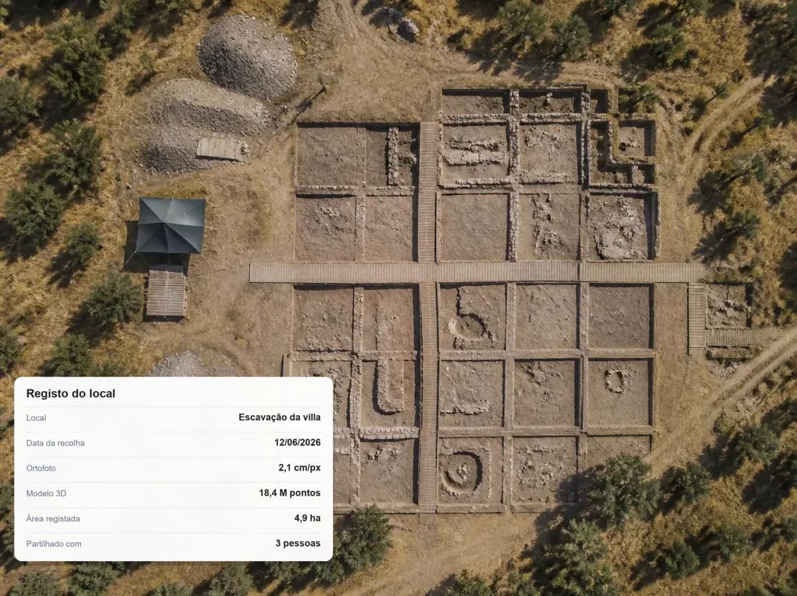
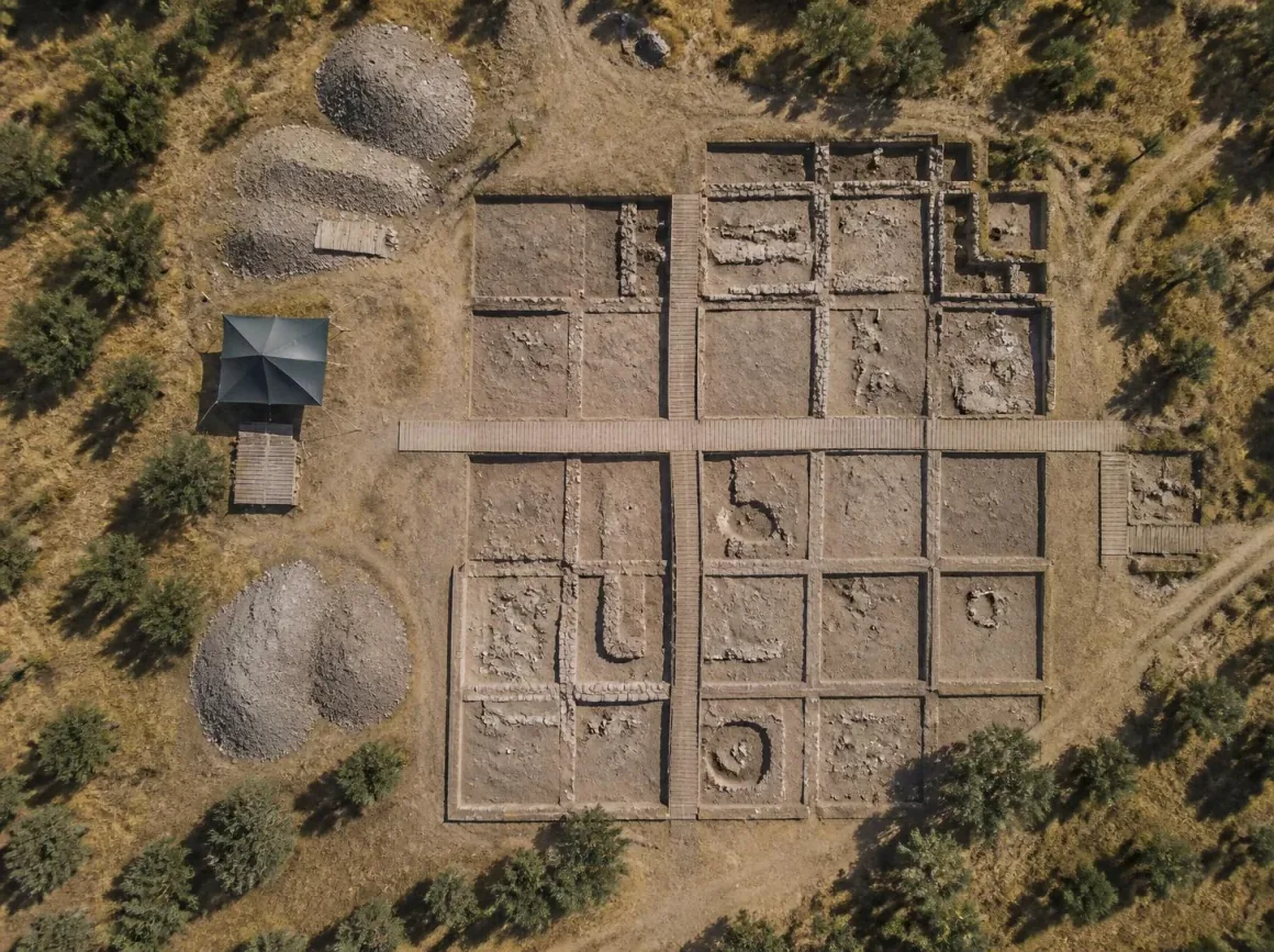 OrthophotoSite record
What you need
The flight data of the site.
Upload the flight data or import results already processed. Each capture keeps the date it was made.
Step by step
- 01
Upload
Upload data or the results from each flight.
- 02
Process
Turn data into results.
- 03
Compare
Compare surveys and see what changed.
- 04
Measure
Measure areas, distances and volumes.
- 05
Share
Share the result with your client or a colleague.
Results
The site, date by date, for good.
You keep the orthophoto and 3D model of each capture, with its date, ready to look up, measure, share or export.
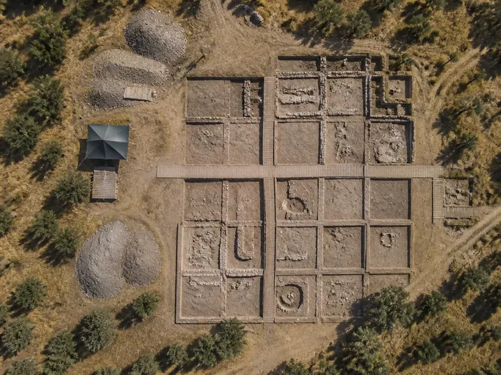
Orthophoto of the site
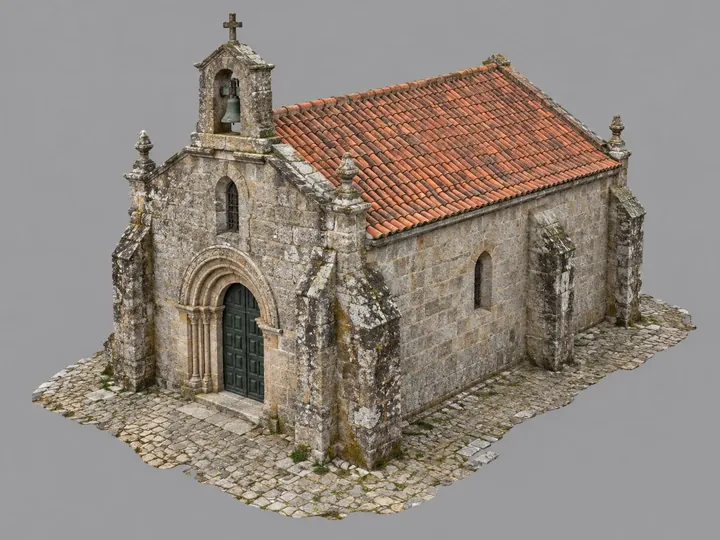
3D model of the site
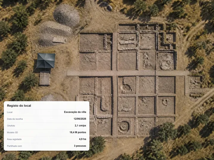
Date of each capture
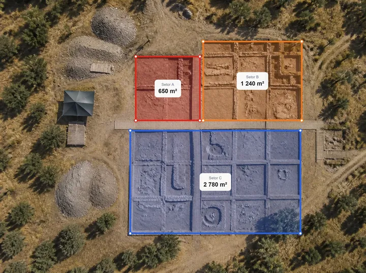
Measurements on the record
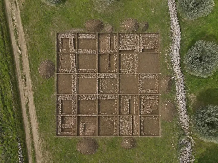
Comparison between captures
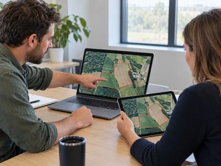
Sharing with the team and authorities
Important note. Define the coverage and detail you need before capture.
FAQ
What people usually ask.
What is kept in each record?
The orthophoto, the 3D model and the capture date.
Can I measure on an old record?
Yes. Areas, distances, elevations and profiles can be measured on any date.
What coverage should I capture?
Set the area and detail you need before the flight. The record only shows what was captured.
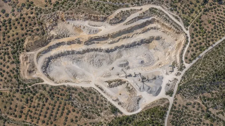
Compare surveys
Get digital 3D maps and models for each uploaded date, and view and measure how the work has progressed between them.
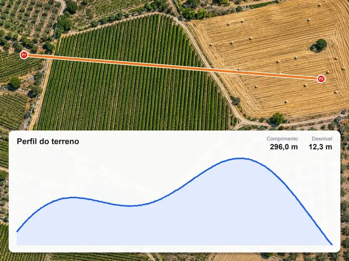
Measure elevations, distances and profiles
Mark points or draw a line on the map and get elevations, distances and the terrain profile, with its length, elevation difference and slope.
Share surveys and results
Invite people or companies, or send a link. The administrator chooses what each one can do: view, measure and comment, or edit.
Record your site in NioMap.
Create a free account and try it with your own survey data: it includes 1 hour of processing and 10 GB of storage. If you have questions, talk to us.