
Solution
Measure elevations, distances and profiles
Mark points or draw a line on the map and get elevations, distances and the terrain profile, with its length, elevation difference and slope.
What it's for
Get elevations, distances and profiles from the survey.
Mark one point to read its elevation, two points for the distance, or draw a line: the terrain profile is calculated automatically, with the elevation chart, the length, the elevation difference and the slope.
Drag to see the terrain profile.
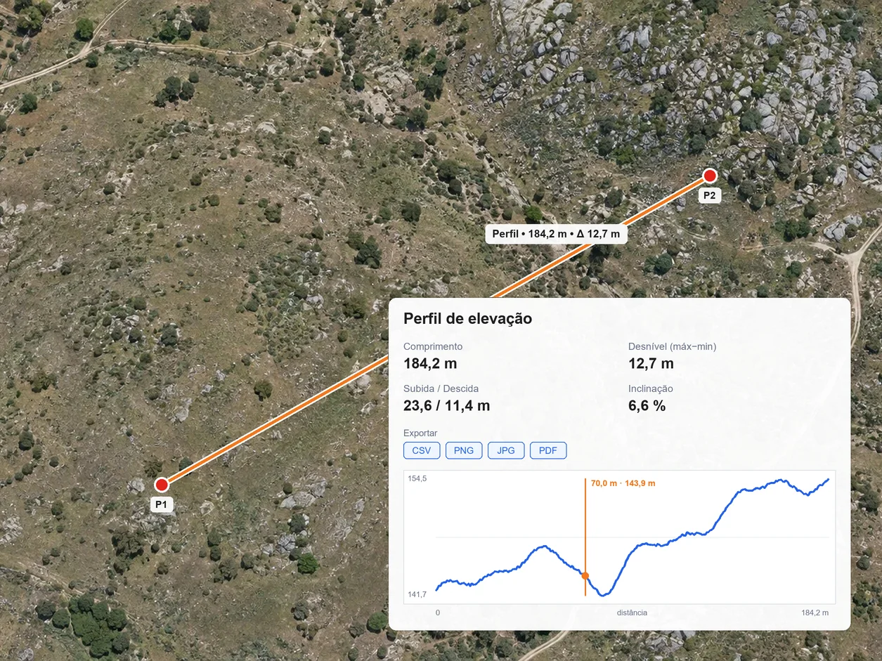
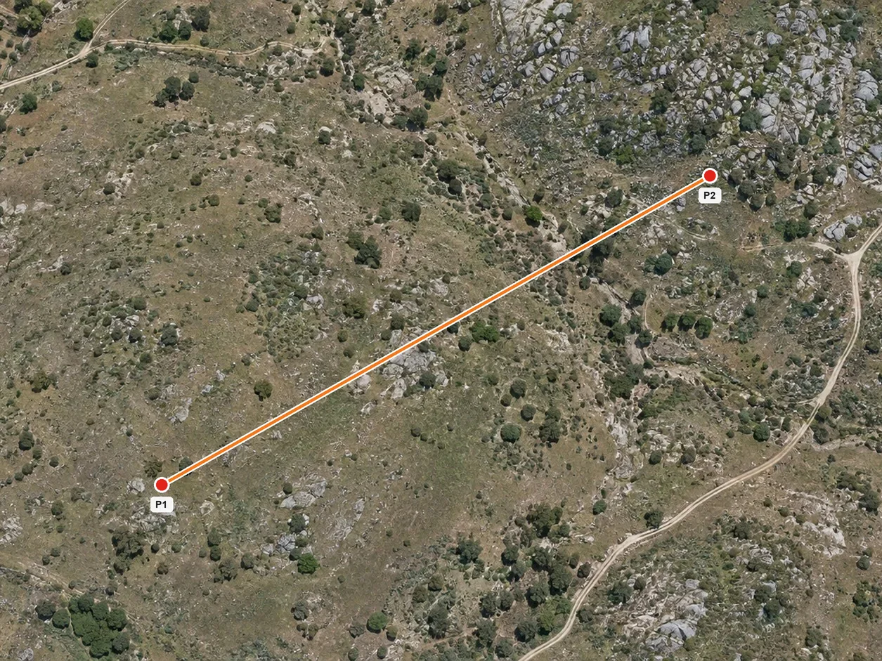 Drawn lineTerrain profile
What you need
A georeferenced survey with an elevation model.
Upload the flight data or import the orthophoto and model already processed. Distances are measured on the orthophoto; elevations and profiles need the elevation model.
Step by step
- 01
Upload
Upload data or the results from each flight.
- 02
Process
Turn data into results.
- 03
Compare
Compare surveys and see what changed.
- 04
Measure
Measure areas, distances and volumes.
- 05
Share
Share the result with your client or a colleague.
Results
Measurements kept with the survey and its date.
Each elevation, distance or profile is kept with the zone and the survey it came from, ready to look up, share or export.
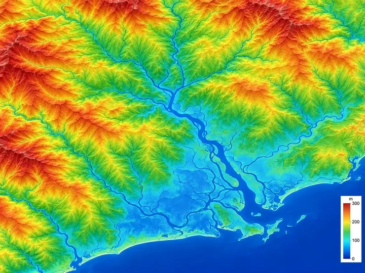
Elevation at any point of the survey
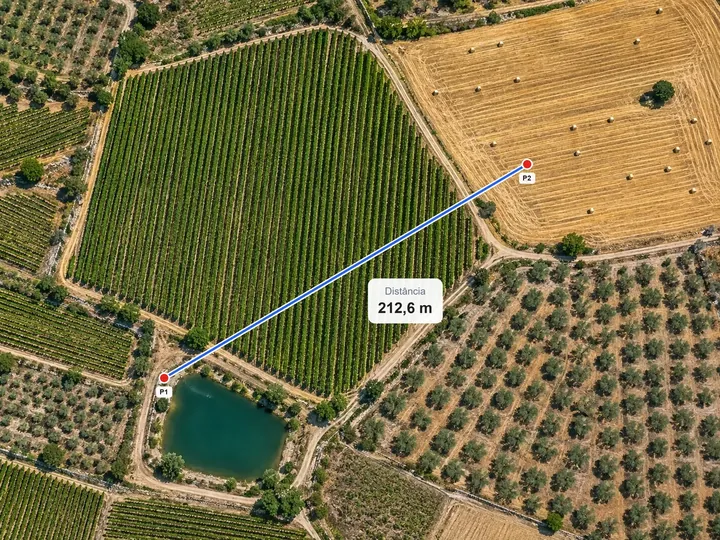
Distance between two points
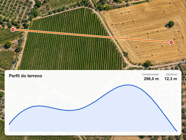
Terrain profile along a line
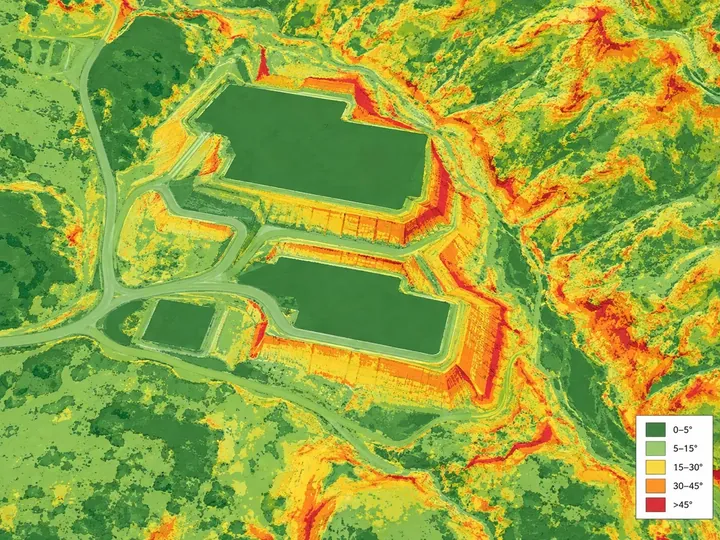
Length, elevation difference and slope of the profile
Exportable profile: chart, elevation table and API
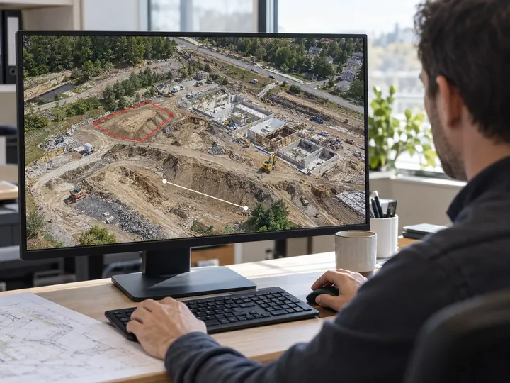
Measurements in the browser, without going back to the site
Important note. If the site has changed or detail is insufficient, a new capture may be needed.
FAQ
What people usually ask.
How do I create a terrain profile?
Draw a line on the survey. The profile is calculated automatically from the elevation model, with the elevation chart, the length, the elevation difference and the slope.
Can I measure elevations with the orthophoto alone?
No. Distances are measured on the orthophoto, but elevations and profiles need the survey's elevation model.
In which formats can I export a profile?
The chart as PNG, JPG or PDF, the elevation table as CSV and, via API, the line as vector data.
Are the measurements kept?
Yes. Each elevation, distance or profile is kept with the survey and its date, and can be looked up later.
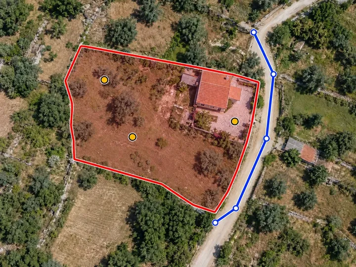
Measure areas
Draw the boundary of any zone on the map and get its flat area, its real (3D) area and its perimeter. The measurement is kept with the survey and its date.
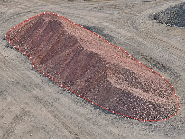
Calculate volumes
Outline the zone and choose the reference: a plane, a base level or the design surface. You get the cut and fill volumes, with a map of each zone.
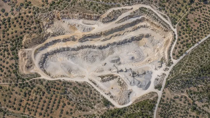
Compare surveys
Get digital 3D maps and models for each uploaded date, and view and measure how the work has progressed between them.
Measure elevations, distances and profiles in NioMap.
Create a free account and try it with your own survey data: it includes 1 hour of processing and 10 GB of storage. If you have questions, talk to us.