NIOTANTEK®NIOMAP
Web-based data processing platform
What is NIOMAP?
NIOMAP is a NIOTANTEK module designed to process data collected by drones, smartphones, and digital cameras, enabling the generation of accurate 2D maps, 3D models, and point clouds.
Using cutting-edge photogrammetry technology and secure cloud processing, NIOMAP transforms images into strategic information essential for multiple sectors, from heritage conservation to industrial operations.
Cloud Processing
No specialized hardware required – process data efficiently in the cloud.
AI Powered
Advanced algorithms for automated image processing and analysis.
Perfect For These Sectors:
- Mining and Quarries
- Construction and Engineering
- Heritage Conservation
- Archaeological Research
- Environmental Monitoring
- Infrastructure Inspection
- Surveying and Mapping
- Urban Planning
- Industrial Manufacturing
- Architecture and Engineering

Powerful Features
Increase efficiency and accuracy of your operations with a complete set of specialized tools.
Drone Data Processing
Convert aerial images into accurate maps using advanced photogrammetry algorithms.
2D Maps and 3D Models
Get detailed visualizations of terrain, infrastructure, and assets for analysis and planning.
Point Cloud Generation
Create reliable three-dimensional representations for precise measurements and volume calculations.
Secure Storage and History
Protect your data with national servers and maintain full project history for future access.
Exclusive Modules
Photogrammetry
Performs automatic photogrammetric processing in the cloud, converting data from drones or devices into 2D maps, 3D models, and point clouds with high precision. Ideal for digitizing statues, historical buildings, and archaeological sites with accuracy and efficiency.
QuarryAi
Extends Photogrammetry features, adding intelligent mapping, 3D modeling, and automatic volume/area calculation. Optimized for quarries, mines, construction sites, and environmental monitoring, improving accuracy and operational efficiency.
Photogrammetry
Specialized in 3D digitization of heritage with detail and precision, ideal for preservation and historical analysis projects.
Statues and Sculptures
High-fidelity capture of shapes and textures, enabling studies and digital reconstructions.
View PricingArchaeological Structures
Detailed three-dimensional documentation for research, conservation, and scientific dissemination.
View PricingHistorical Buildings
Accurate 3D modeling to support restoration, rehabilitation, and heritage enhancement projects.
View PricingComplex Pieces and Unique Objects
Digitization of unique elements with high-level detail for study and preservation.
View PricingQuarryAi
Designed for industrial environments, with advanced tools for:
Compatible Drones
Discover professional high-precision aerial data capture equipment, fully compatible with NIOTANTEK solutions for advanced geospatial data processing and analysis.
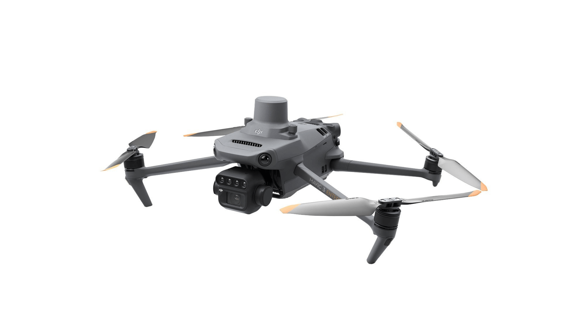
Compact and versatile drone, ideal for fast and accurate surveys, with integrated RTK technology for professional mapping in small to medium industrial environments.
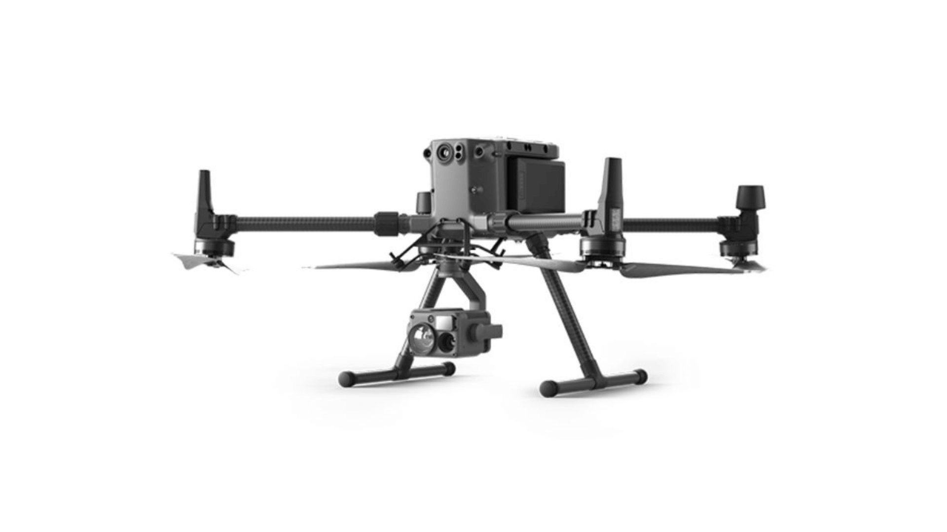
Robust and modular equipment, recommended for medium to large-scale projects and operations in demanding conditions, with compatibility for advanced sensors.
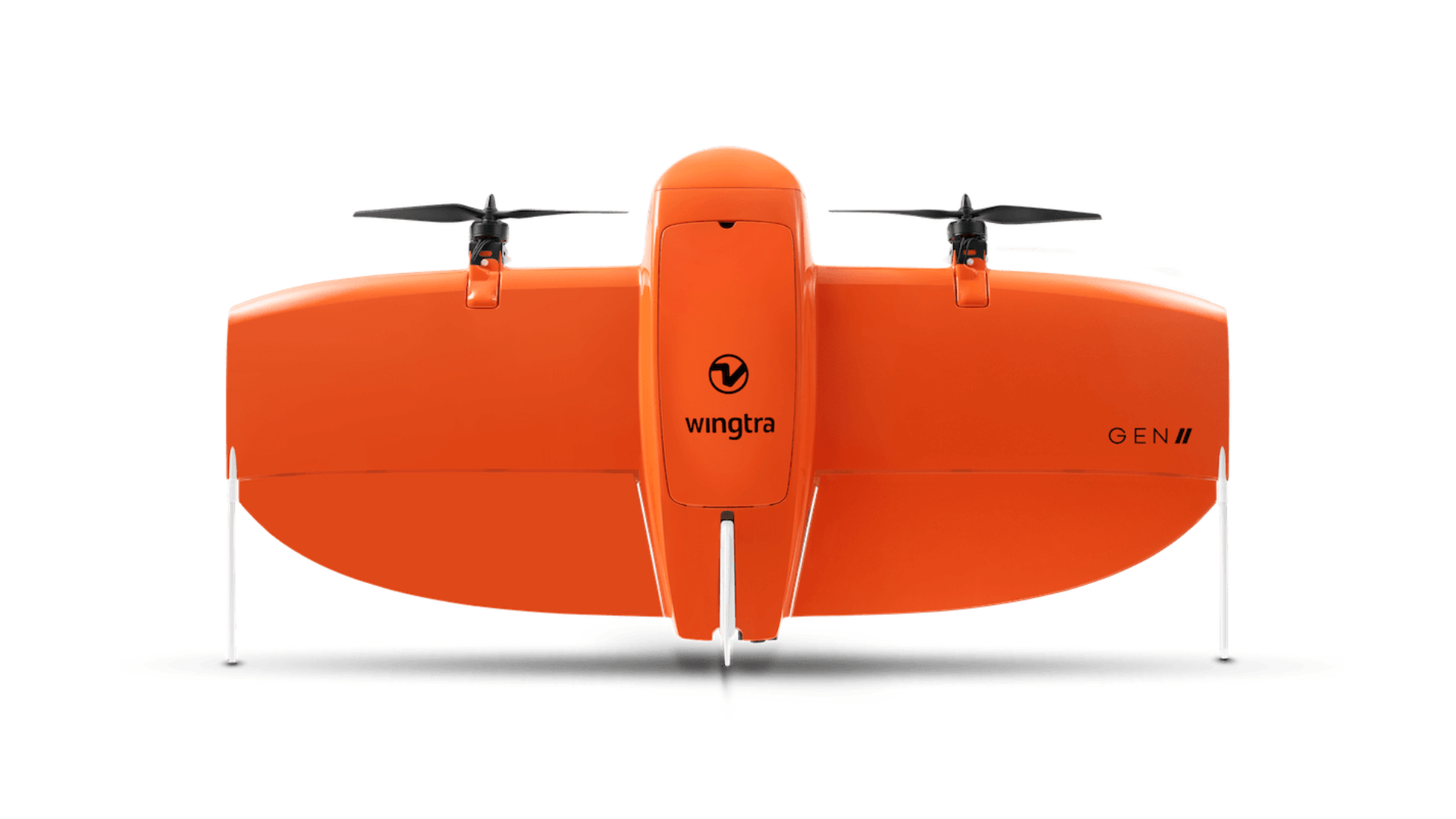
Vertical take-off and landing (VTOL) drone, ideal for covering large areas efficiently with centimeter-level precision.
Why use drones with NIOMAP?
Drones allow capturing high-precision aerial images, essential for generating 2D maps, 3D models, point clouds, and geometric calculations with detail and speed, reducing operational costs and time.
Simplified integration
Compatible with the main models on the market, NIOMAP automatically processes collected data, ensuring accurate results without technical complexity.
Optimized results
Obtain detailed analysis for volume calculations, area monitoring, and project progress tracking with updated and accurate data.
Versatility across sectors
Ideal for mining, civil construction, environmental monitoring, and heritage digitization, adapting to different types of projects and terrains.
Start right now!
Ready to transform your data into results?